item
Siedliszowickie Załuski Archive — maps of the commune Gręboszów
Added to the collection:
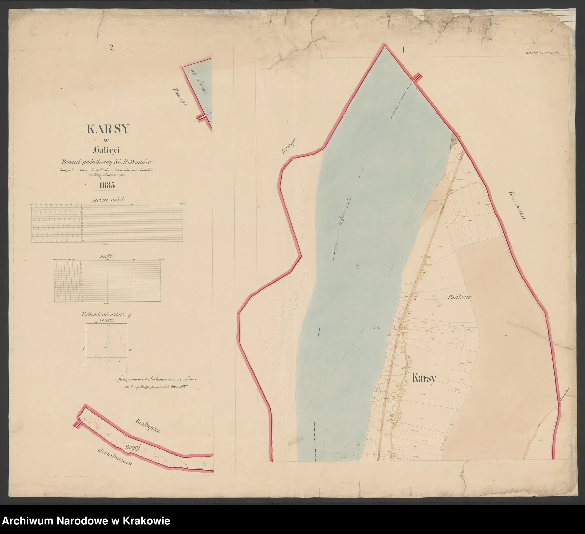
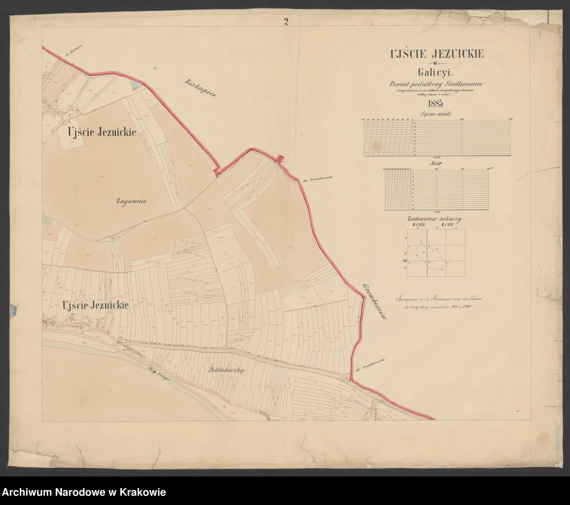
Plans and cadastral maps of the villages of the commune from the National Archives in Cracow — the property of the Załuski and Przerębski families (1680–1901).
The Siedliszowickie Załuski Archive (reference number 29/642/0) in the National Archives in Krakow includes over 400 scans of the files of the Załuski, Przerębski and Wodzicki families and their estates (1524–1925). On the Search in Archives website, you can browse the entire complex — including land plans, cadastral plans and brochures concerning the villages located in the area of today's commune Gręboszów.
In the nineteenth century Gręboszów, Wola Gręboszowska, Ujście Jezuickie, Karsy and Biskupice belonged to the estate of Count Józef Załuski and his family — see the cards Noble Families, Land estates in Galicia and General's sarcophagus. The following gallery (29 sheets) comes from the series *Plans* and *Cadastral Plans* of this complex.
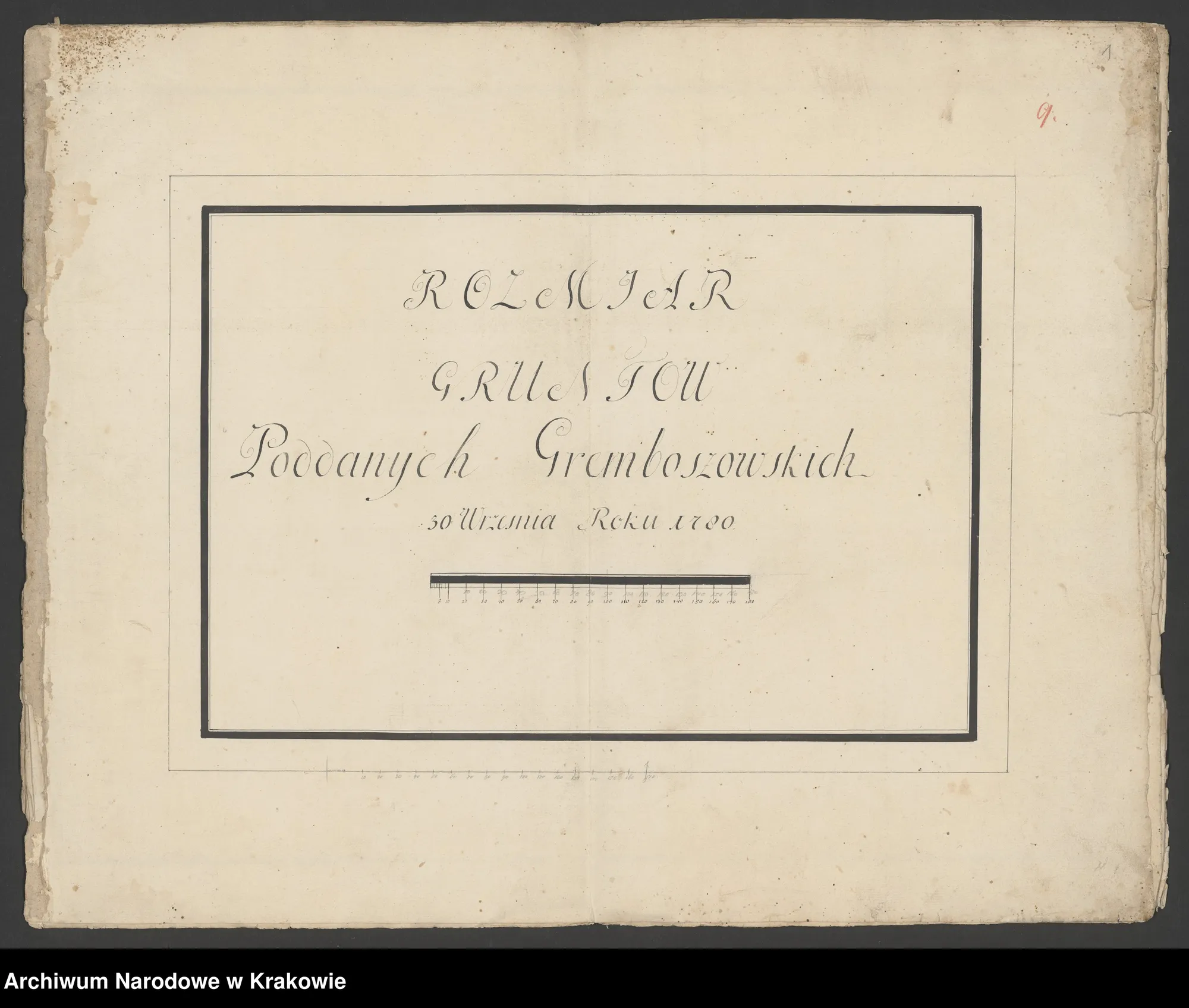
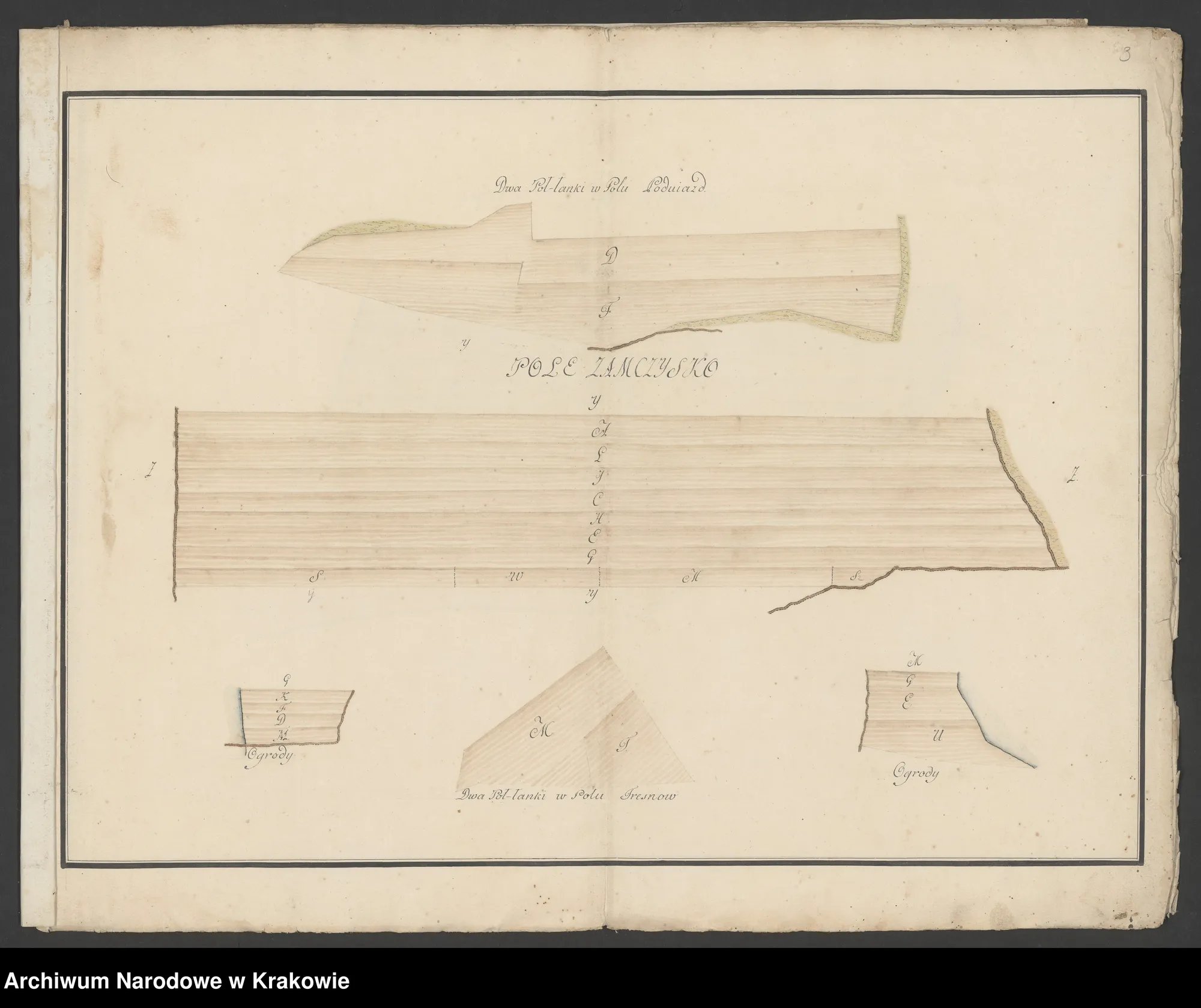
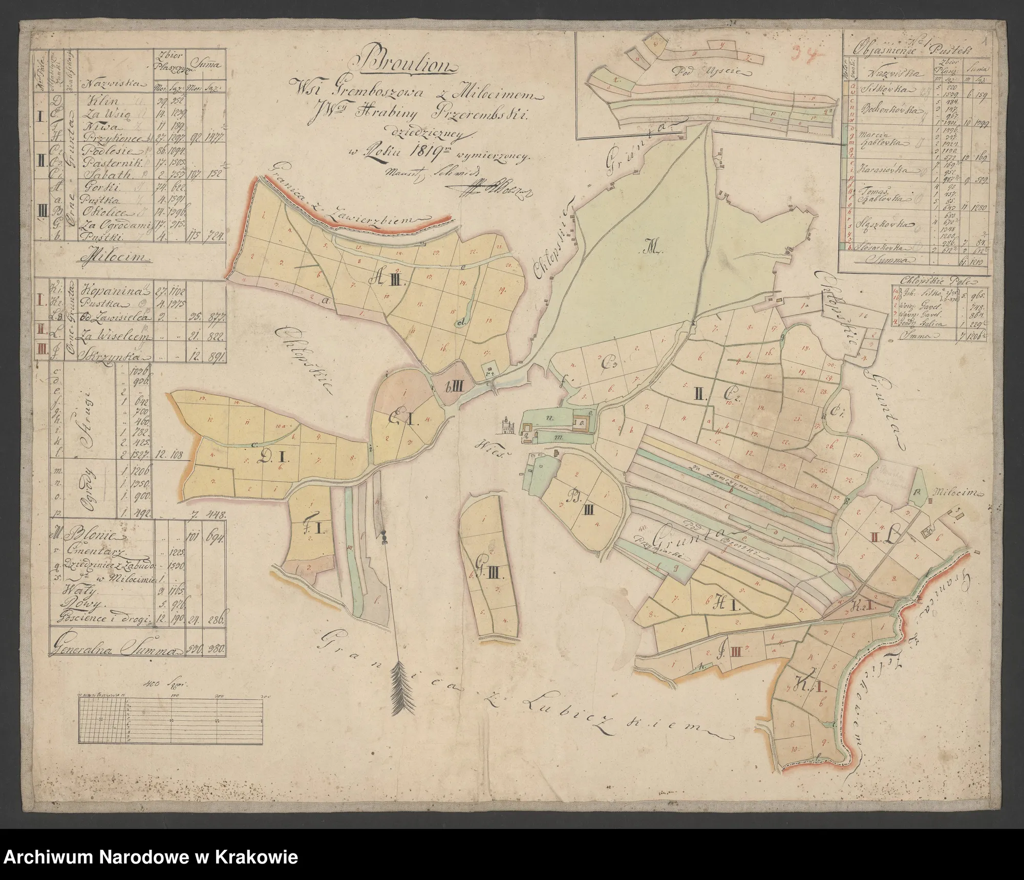
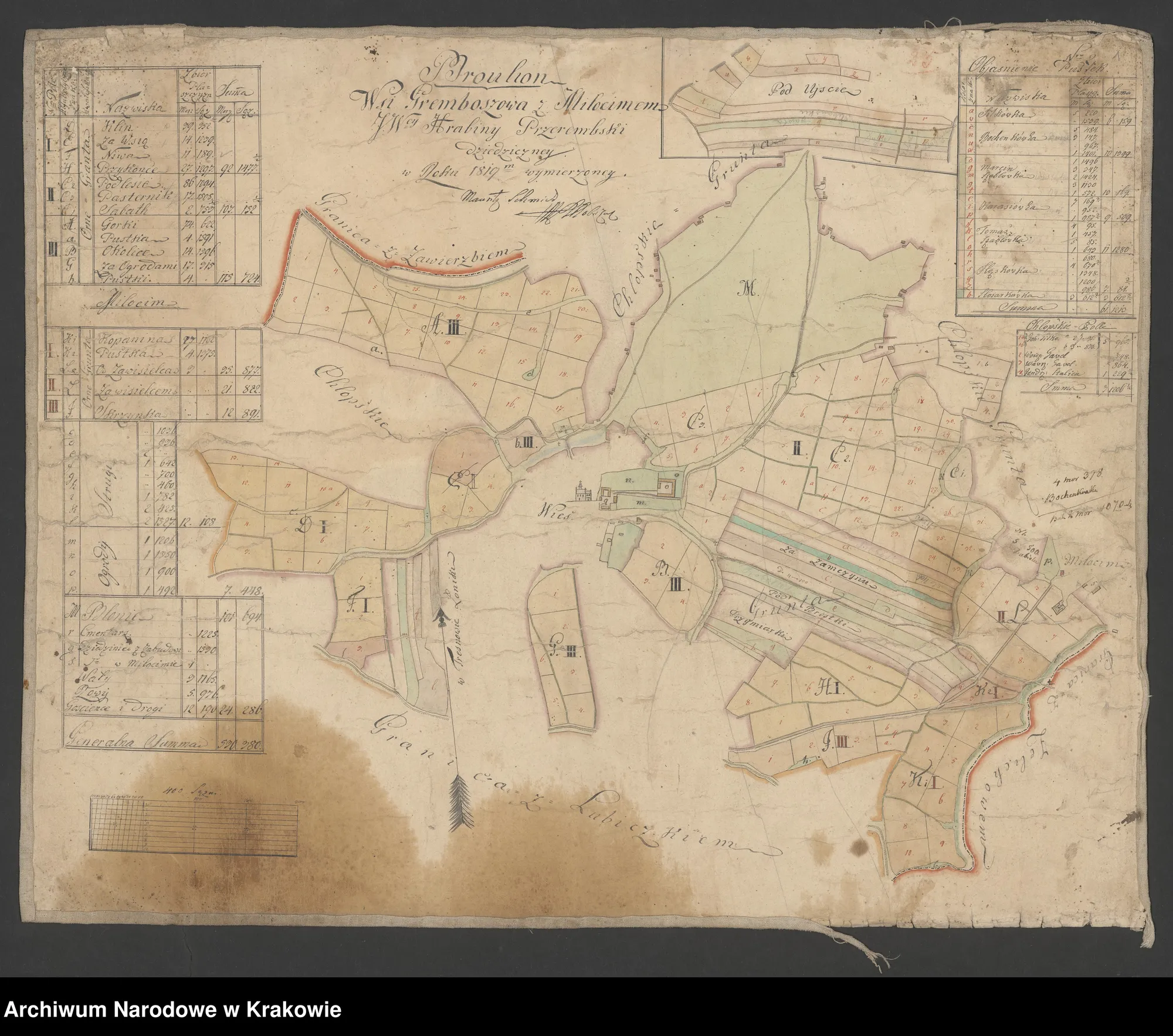
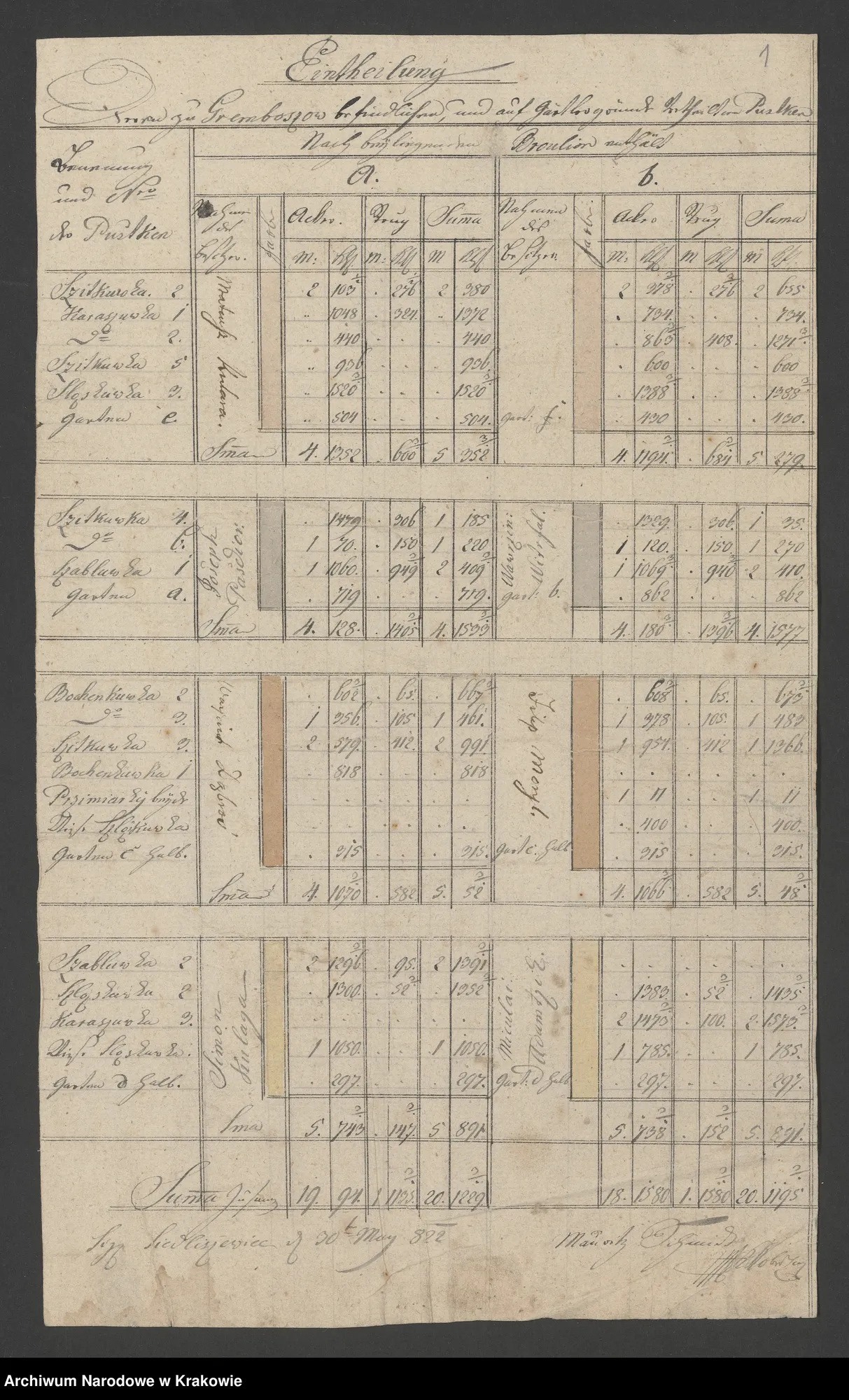
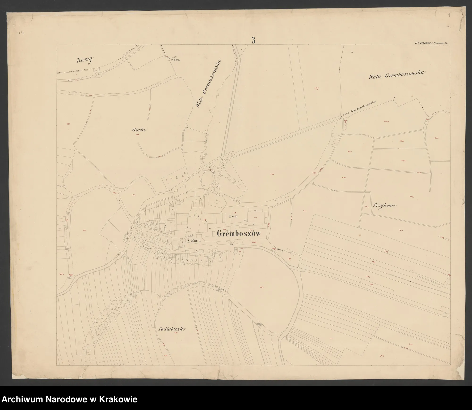
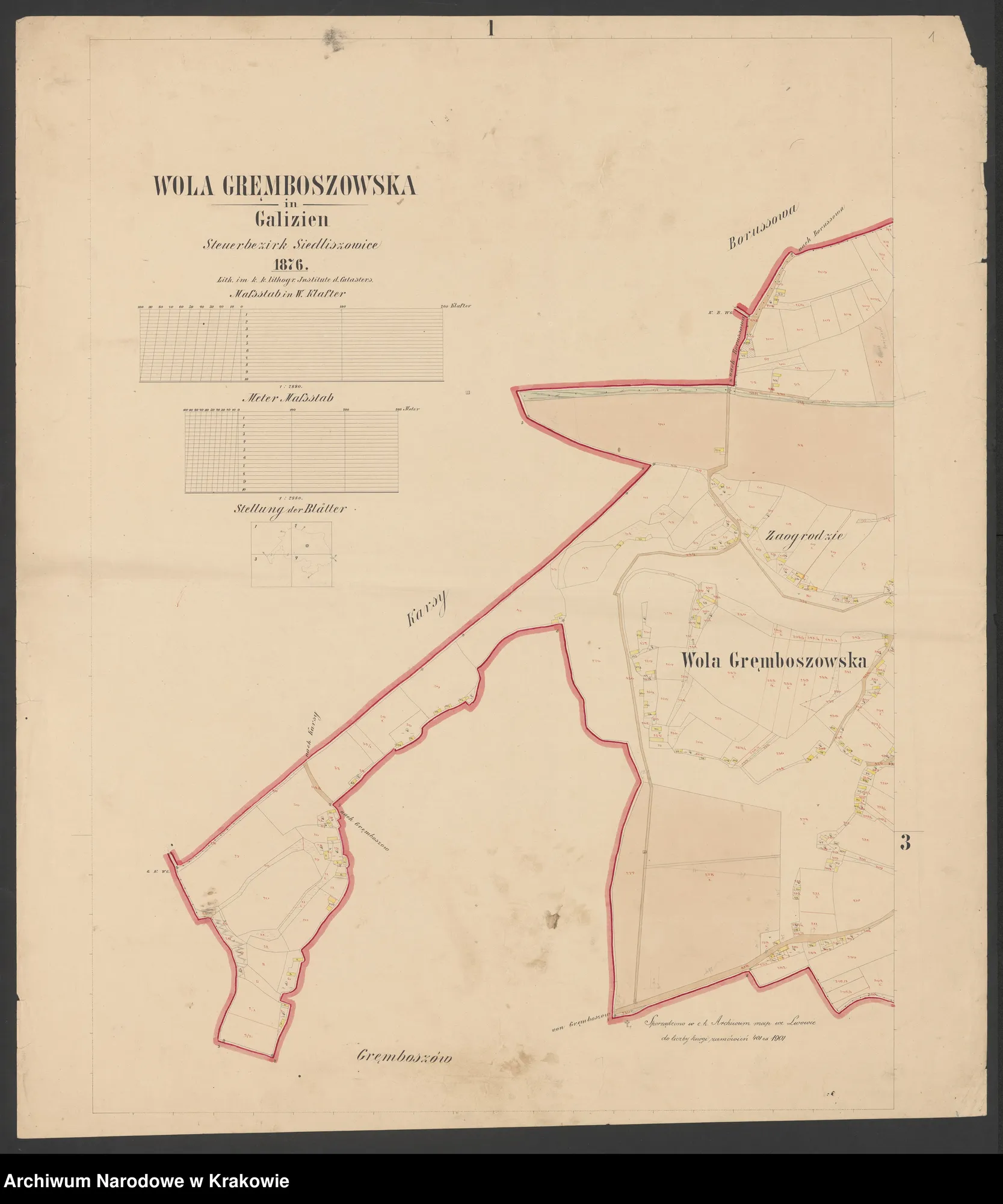
Gręboszów and Wola — lands of serfs (1780), brouillons with Miłocin (1819), division of emptiness (1822), cadastral plan *Gemeinde Gremboszow* (1876), Wola Gręboszowska (1876).
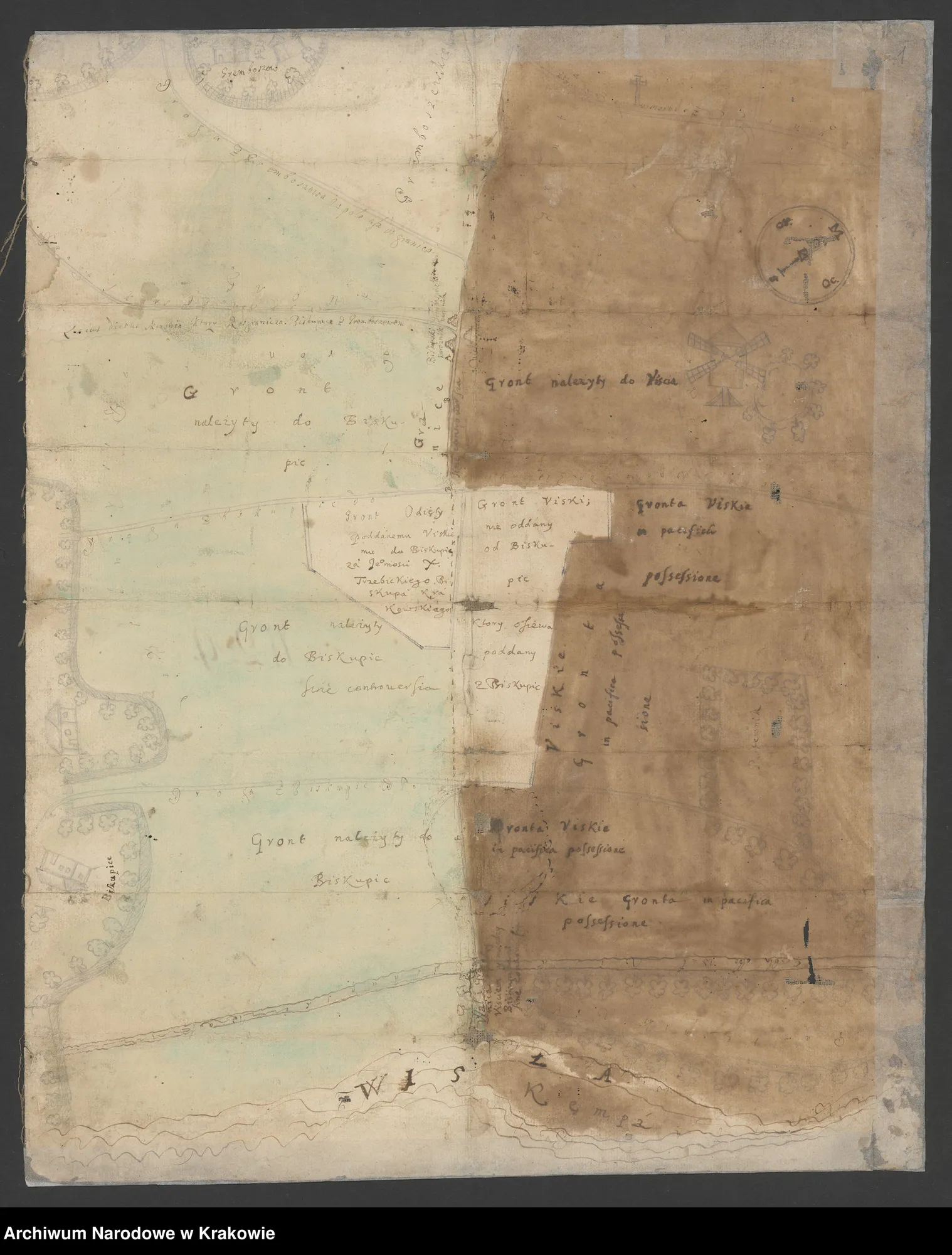
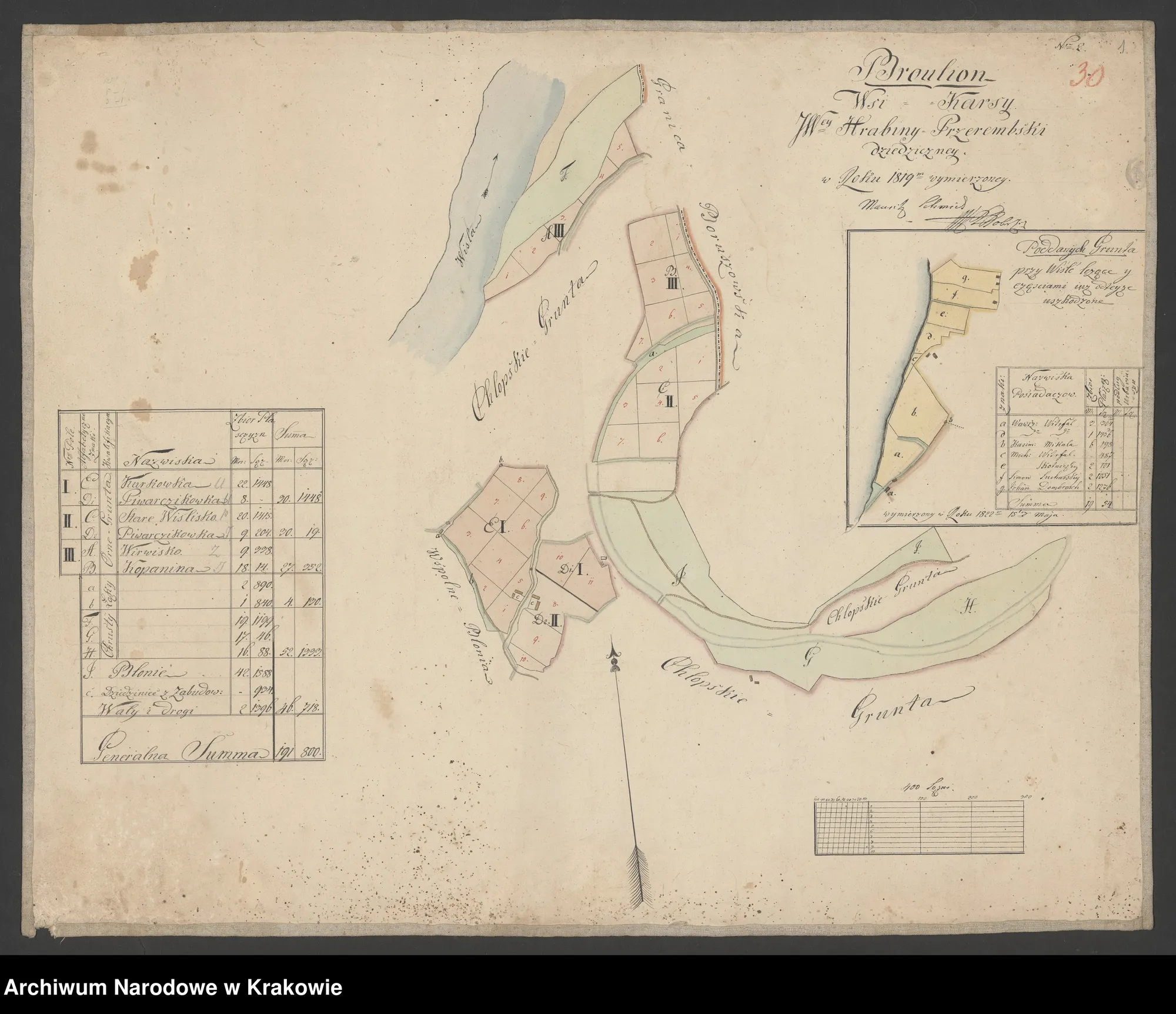
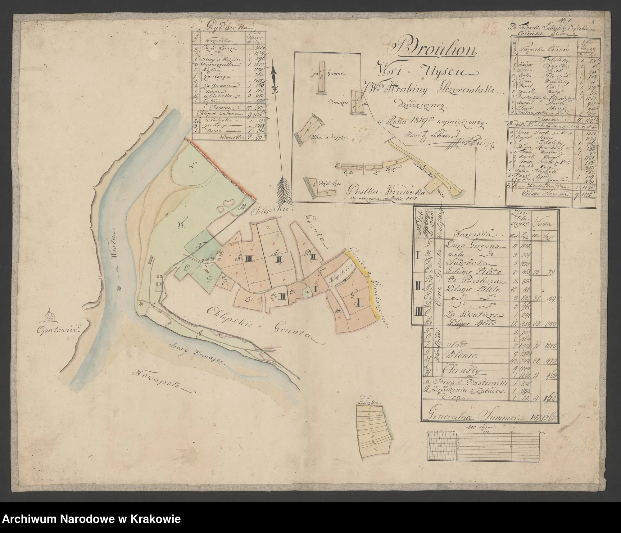
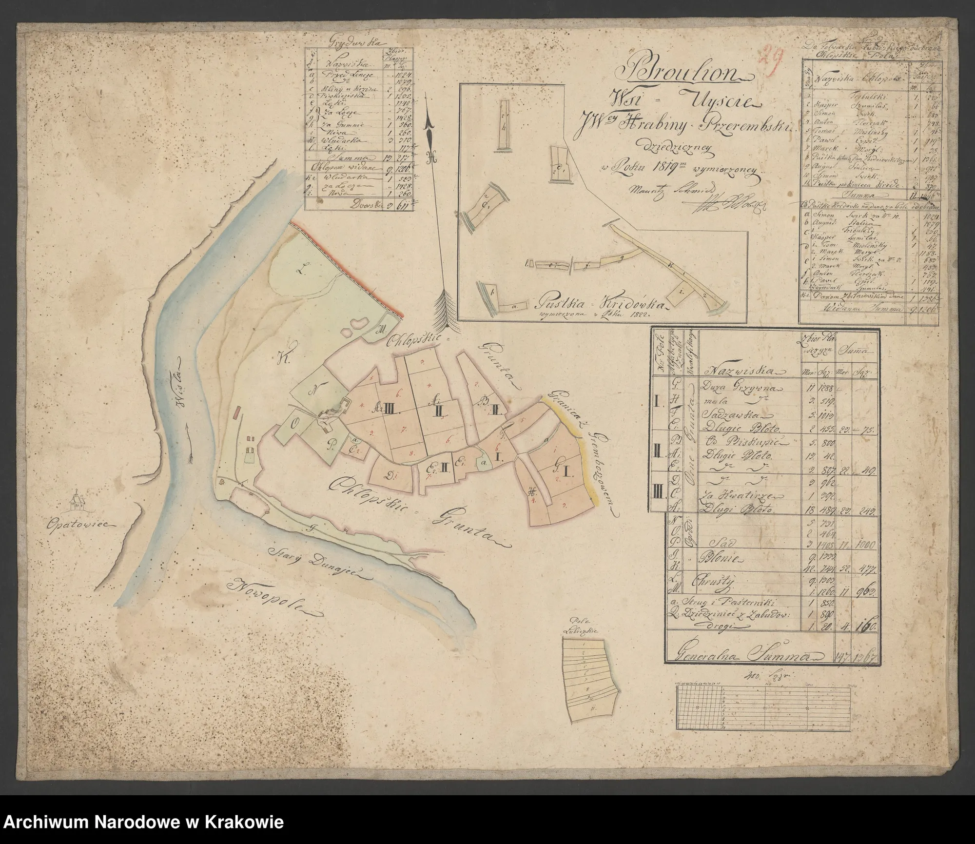
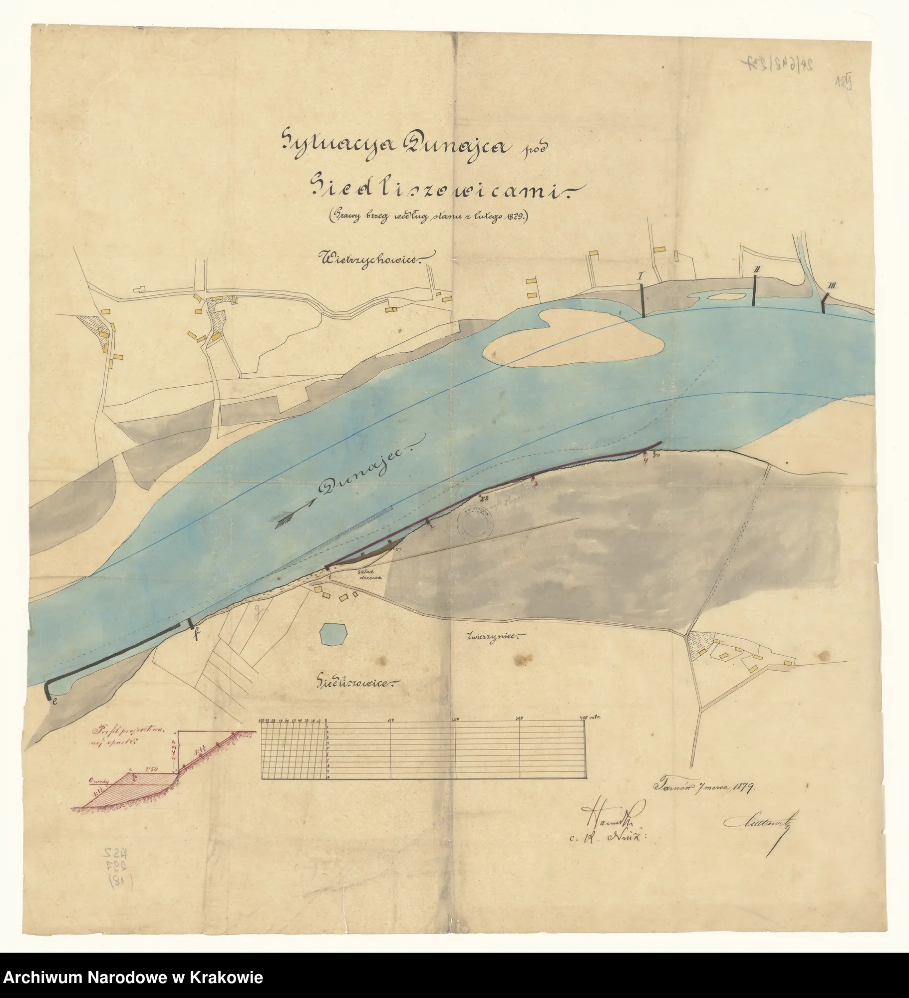
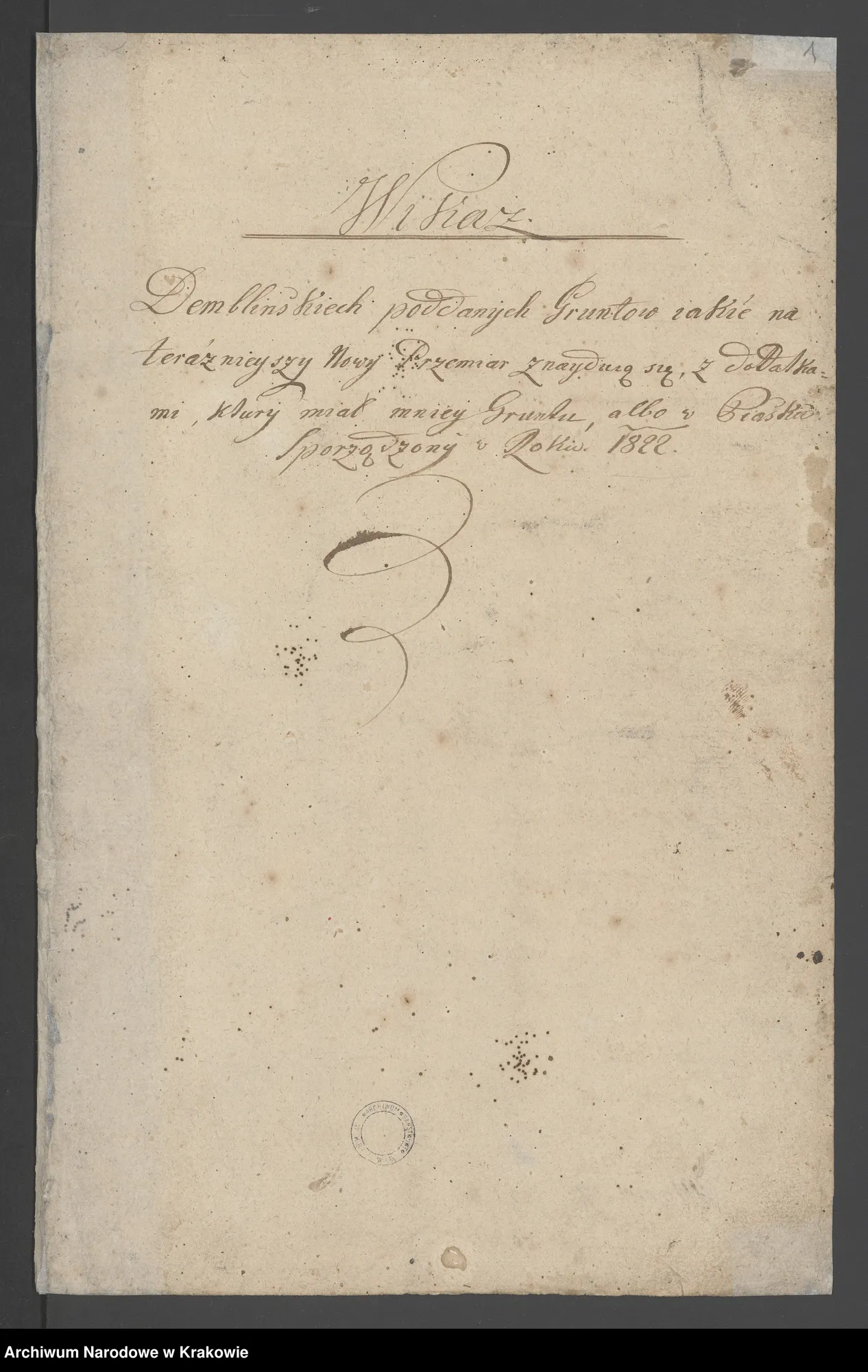
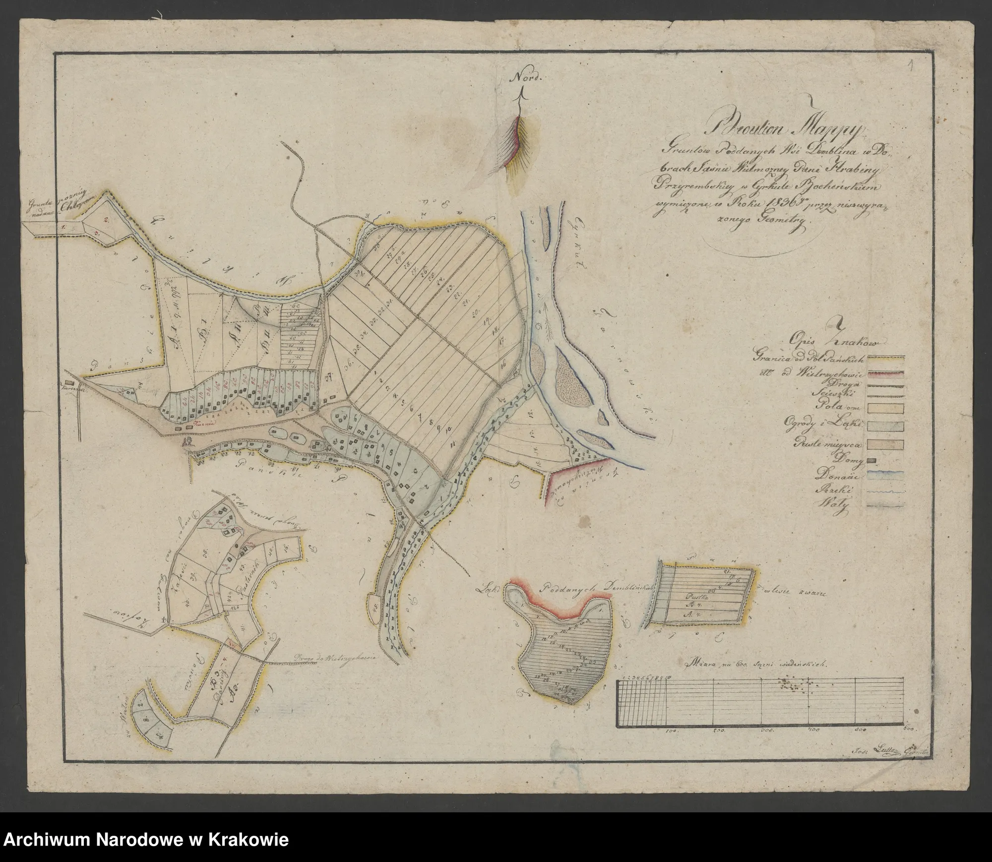
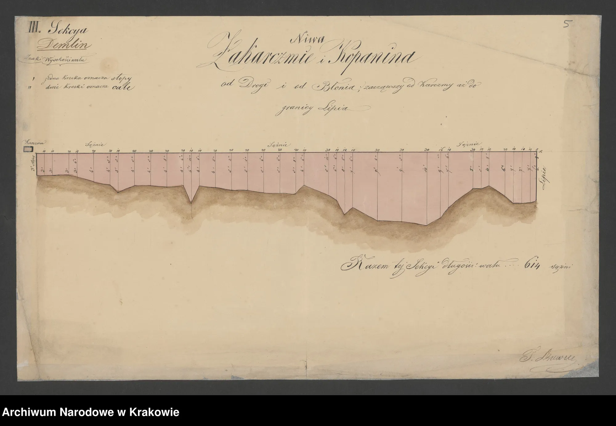
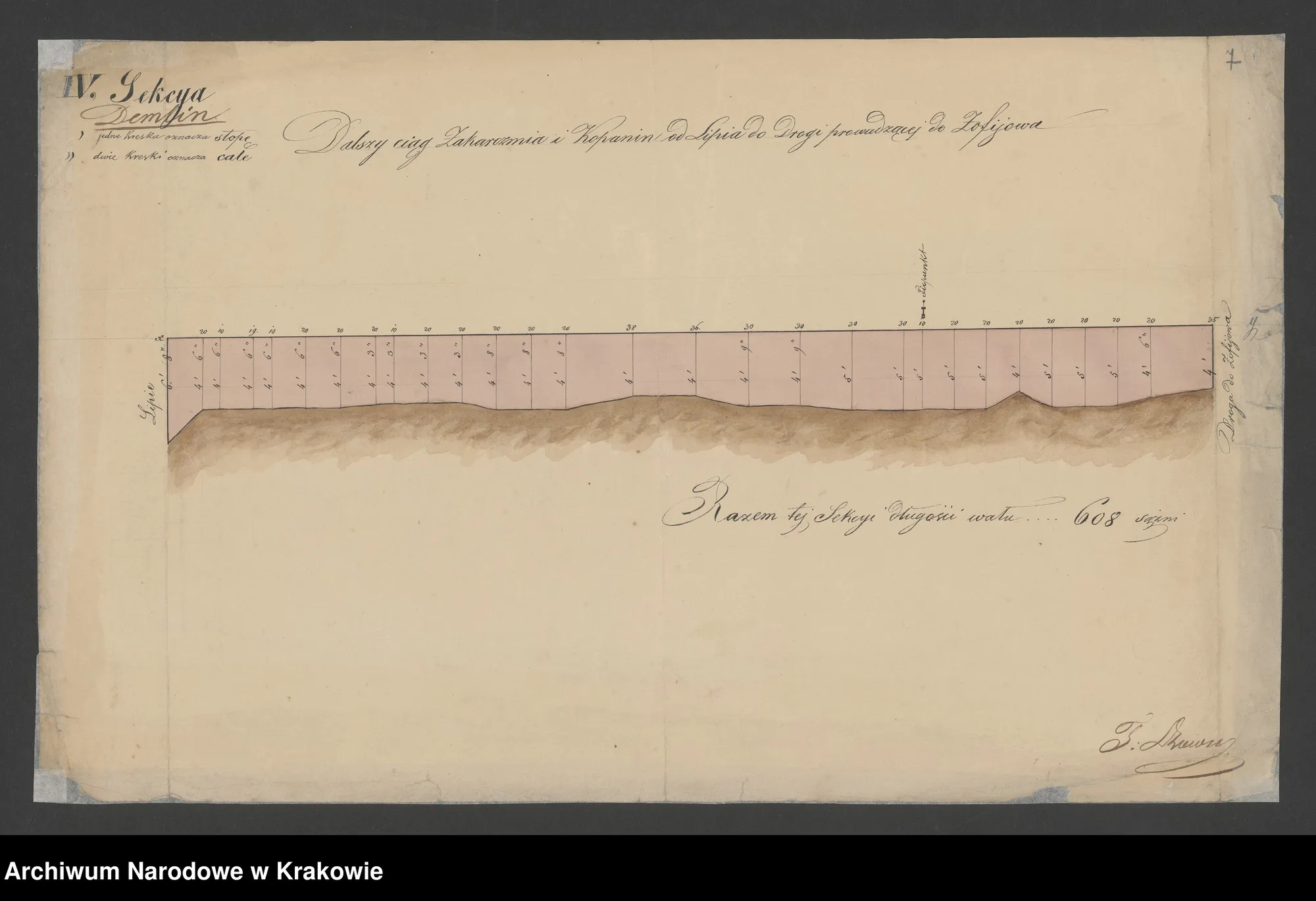
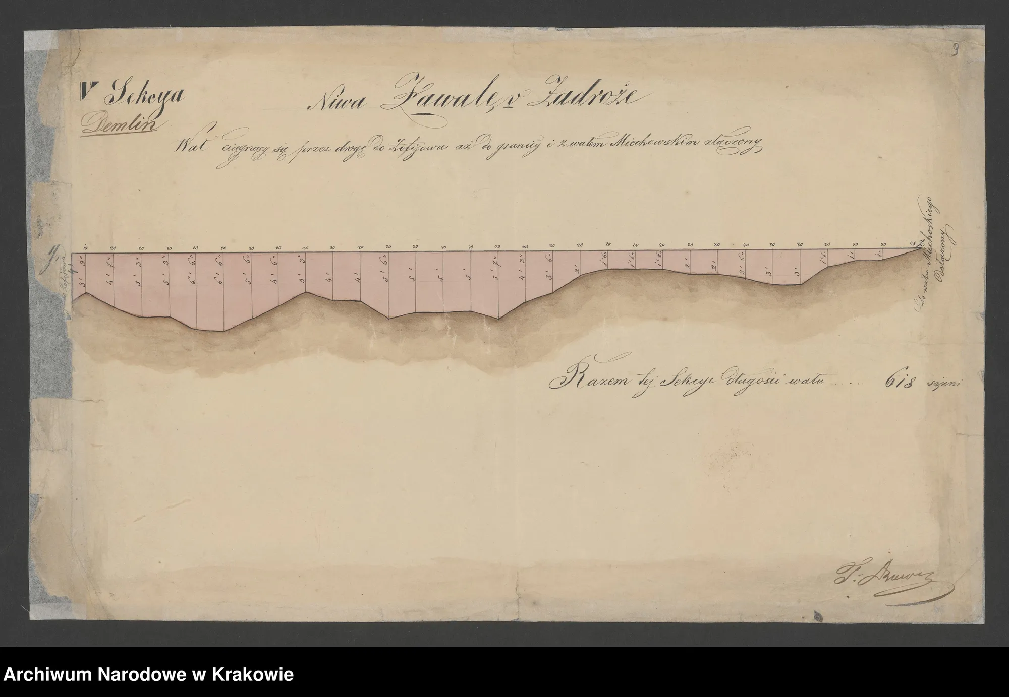
Ujście Jezuickie and Dunajec — the border with Biskupice (ca. 1680), brouillons of the village of Ujście (1819), the situation of the Dunajec (1829), plans of Demblin, and the embankments on the Dunajec (1822–1844), cadastral plan of Ujście (1901).
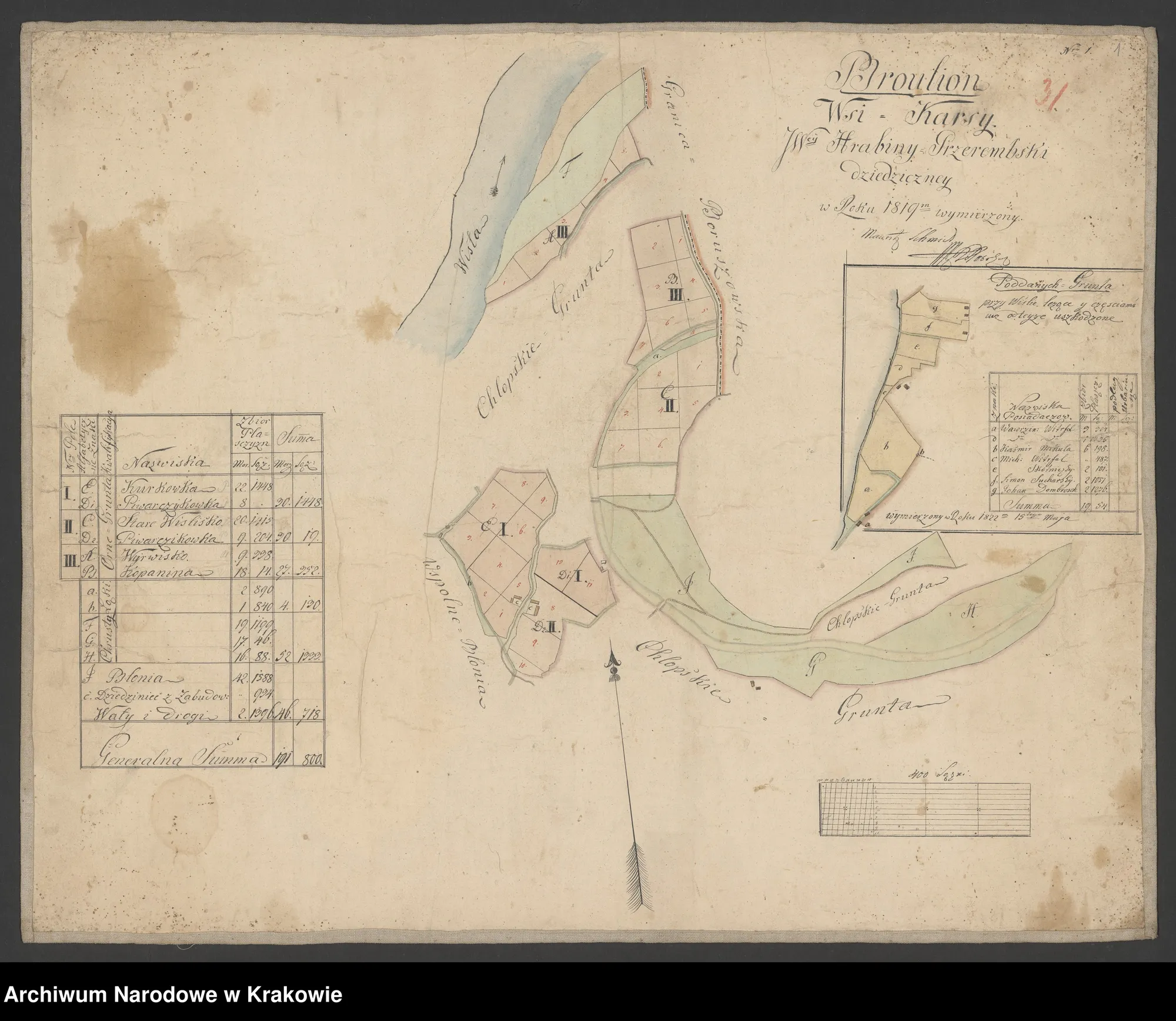
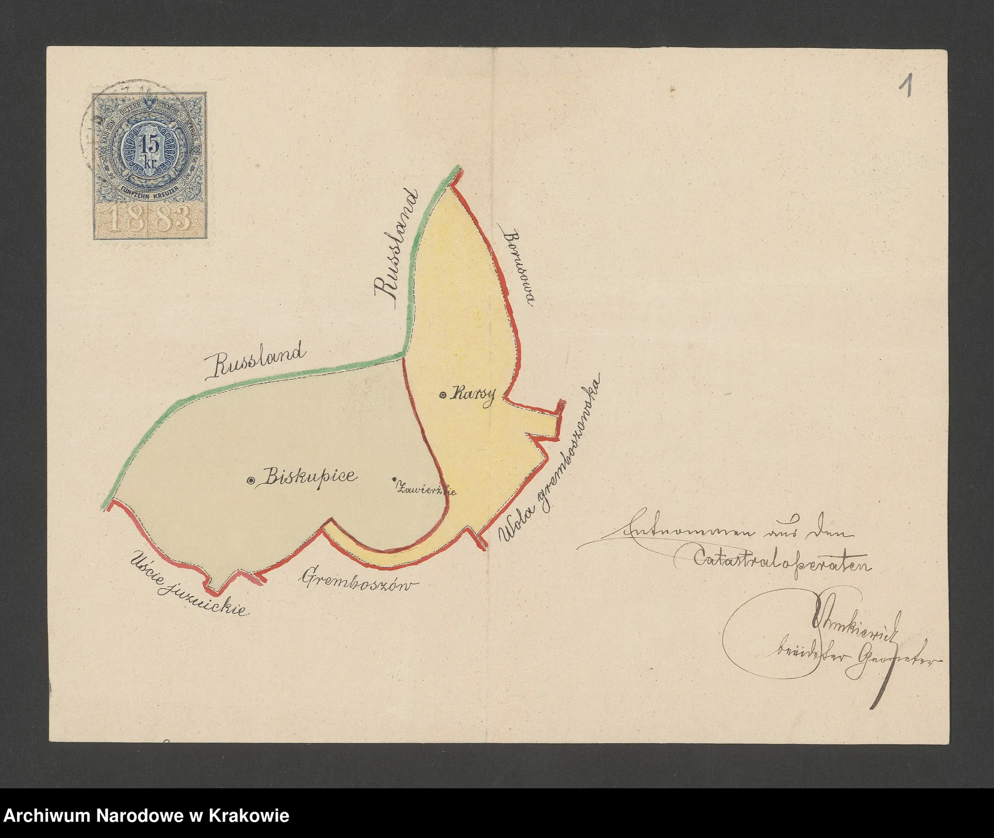
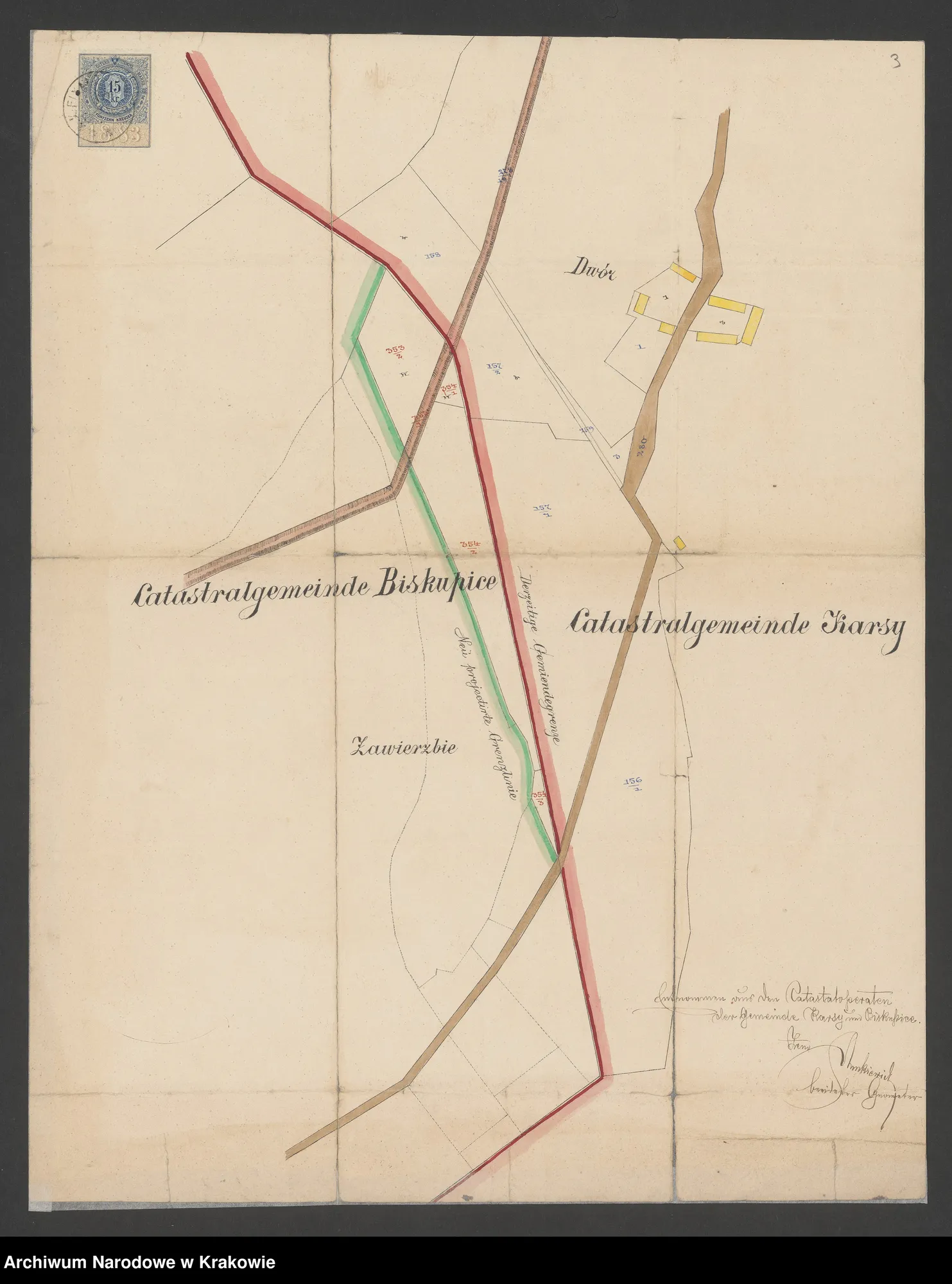
Karsy and Biskupice — Kars (1819), Karsy–Biskupice border plans (1885, 4 sheets), Kars cadastral plan (1901).
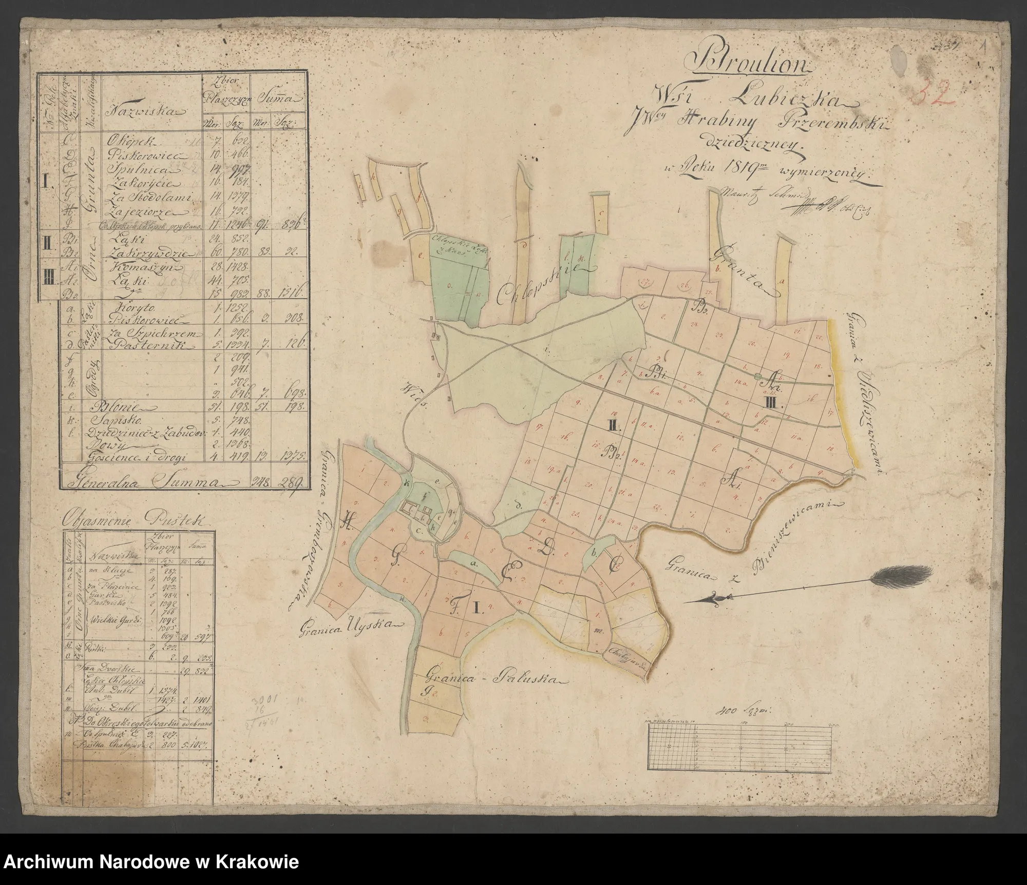
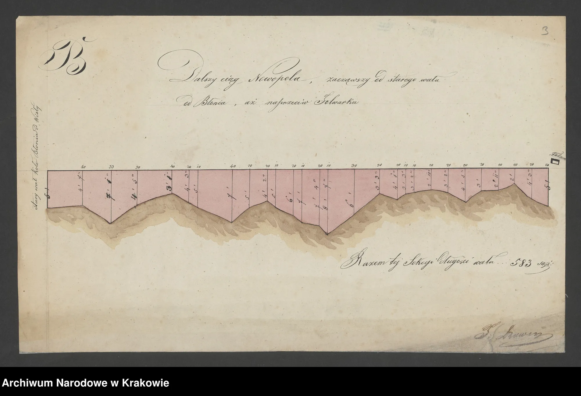
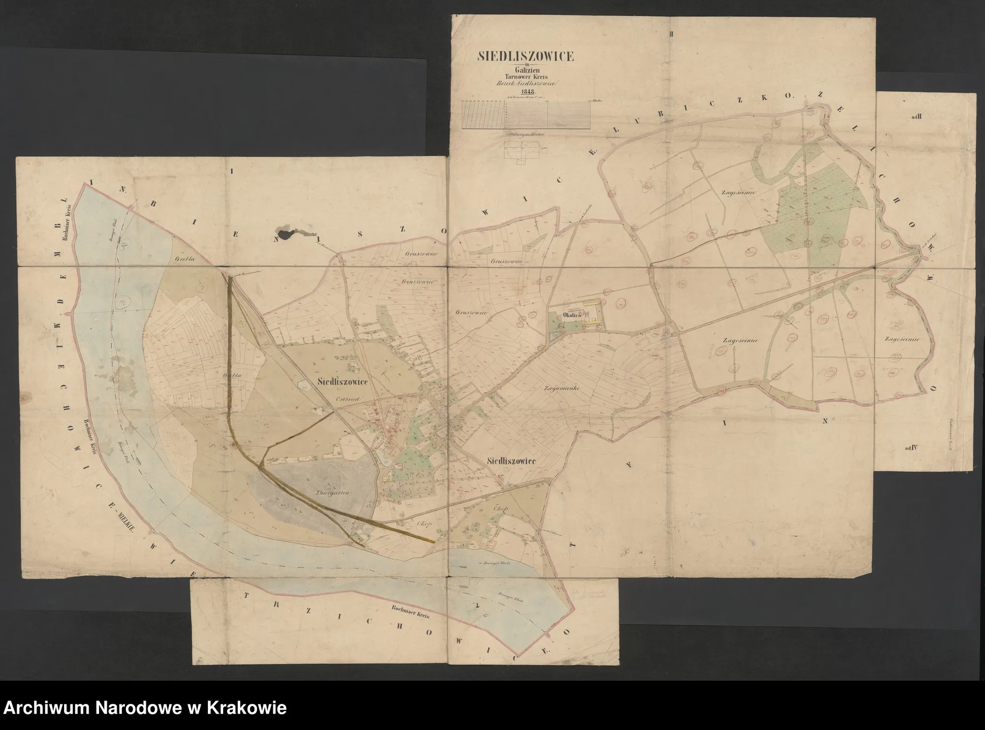
Neighbouring context — Siedliszowice (1851), Lubiczka (1819), Nowopole nad Dunajcem (1844).
A supplement for comparison with the twentieth century is map WIG 1928. Full descriptions of archival units and other sheets can be found by searching for the entries *Gremboszów*, *Ujście*, *Karsy*, *Biskupice* in the 32046 group or by browsing series 5 (*Plans*).
More on the municipality website: greboszow.pl