Monuments and history
Churches, palaces, maps and documents — the history of the commune from trade routes to censuses from over a century ago.
Churches, palaces, maps and documents — the history of the commune from trade routes to censuses from over a century ago.
The commune is located in the Sandomierz Basin (Dąbrowa District, Lesser Poland Voivodeship, 48.63 km²), between the Vistula and Dunajec Rivers — in a place through which settlement and trade routes, including amber, have run for centuries. At the Jesuit Estuary, the Dunajec flows into the Vistula; religious and manor buildings can be discovered on the heritage map.
Below are materials arranged chronologically — from landscape and prehistory to the People's Republic of Poland. For each exhibit, we indicate the source (UG, Polona, Wikimedia, diocesan studies). The full historical essay is published by the Commune Office — link below.
Churches, manor houses, chapels and other landmarks — explore them on the interactive heritage map.
Go to the heritage mapThe retreat of the glacier shaped the Sandomierz Valley; for centuries the Vistula and Dunajec linked trade and settlement routes.
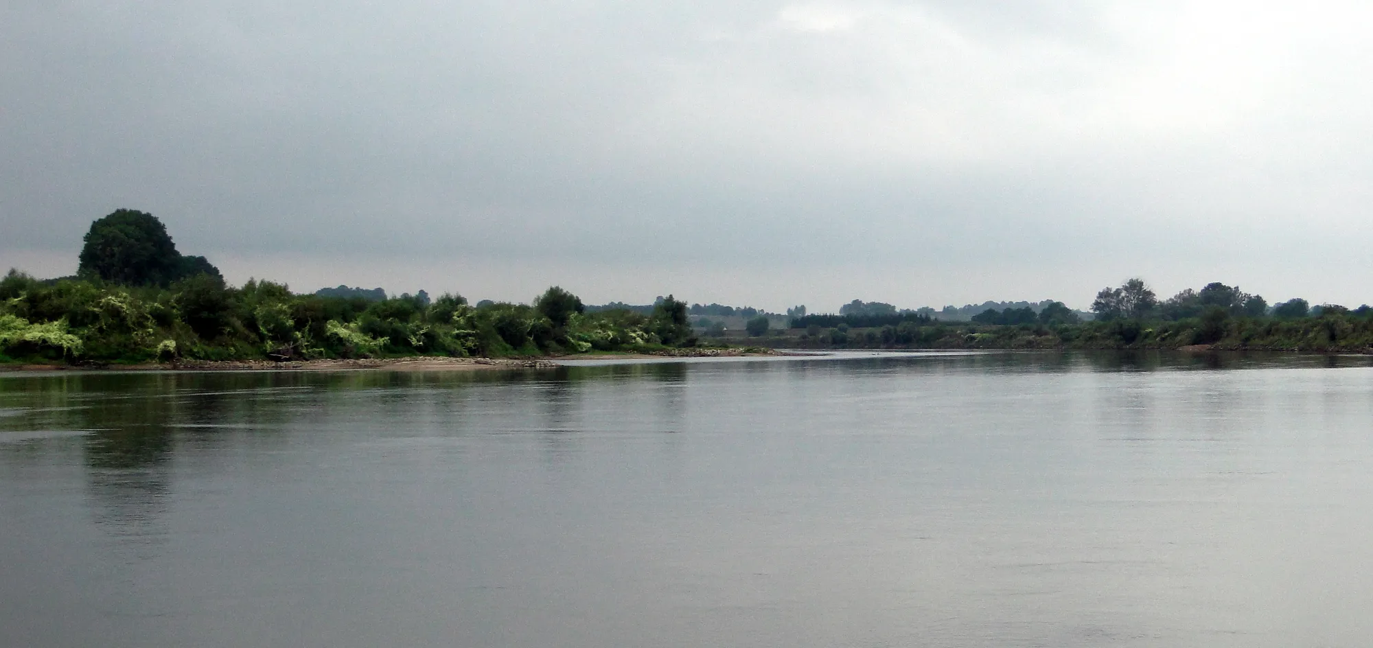
Glacier, Vistula and Dunajec — settlement from the Palaeolithic to Roman influences in the commune.
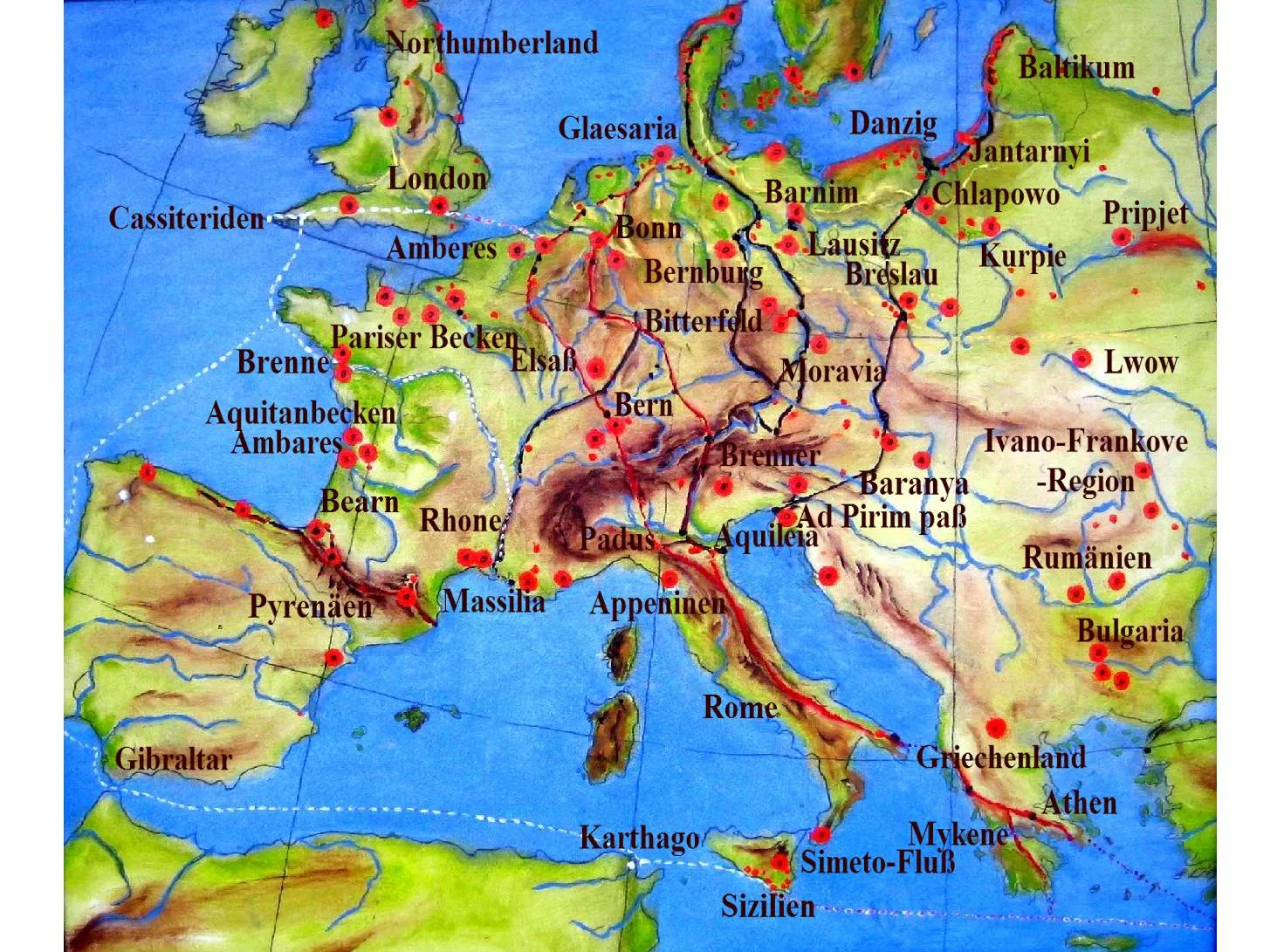
Trade contacts with the Roman world — amber, coins, and river routes.
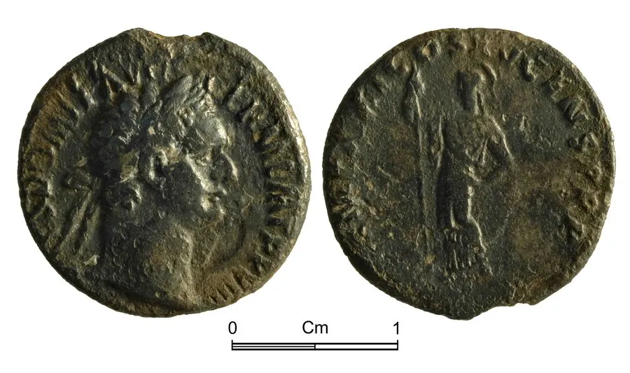
Four coins from the 1st–2nd centuries AD — a trace of trade along the Amber Route in the commune.
The Vistula, the Dunajec and the Tarnów Inn — roads that shaped the settlement in the commune.
Old Polish roads: the Tarnów inn, the ferry in Hubenice and the route through Gręboszów to Opatowiec.
Zalipie in the composition of the parish and censuses from the nineteenth century — the vicinity of a painted cottage, a different story than the folklore of Zalipie.
From the first mention of Gręboszów (1287) to the registers of social structure from 1579.
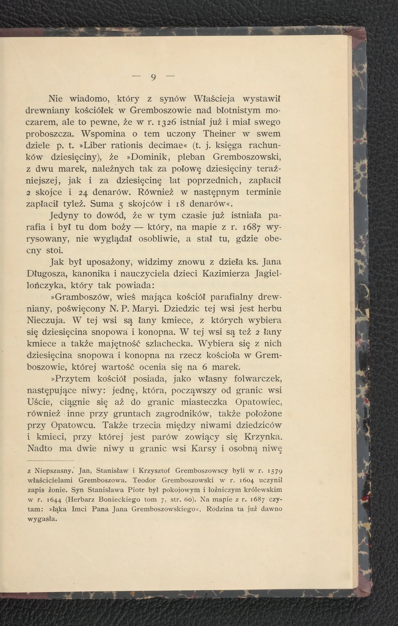
Ownership structure Gręboszowa, Lubiczek and Wola Żelichowska — Wiślanie, Wojnicz, registers 1579.
The socio-professional division of the village in 1579 — peasants, bailiffs, fields, self-government under German law.
Village owners and founders of churches — from the Middle Ages to the landed estates of Galicia.
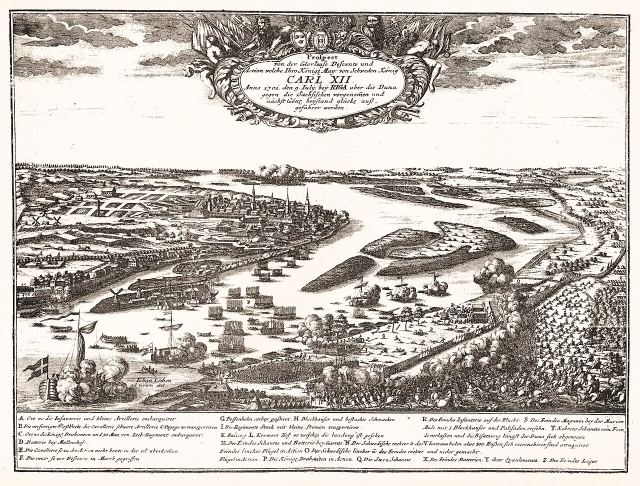
Swedish looting during the war between Augustus II and Charles XII — destruction of villages in Powiśle.
After the partitions — censuses, the geographical dictionary, maps and Bojko's 1911 monograph as a “photograph” of the commune from a century ago.
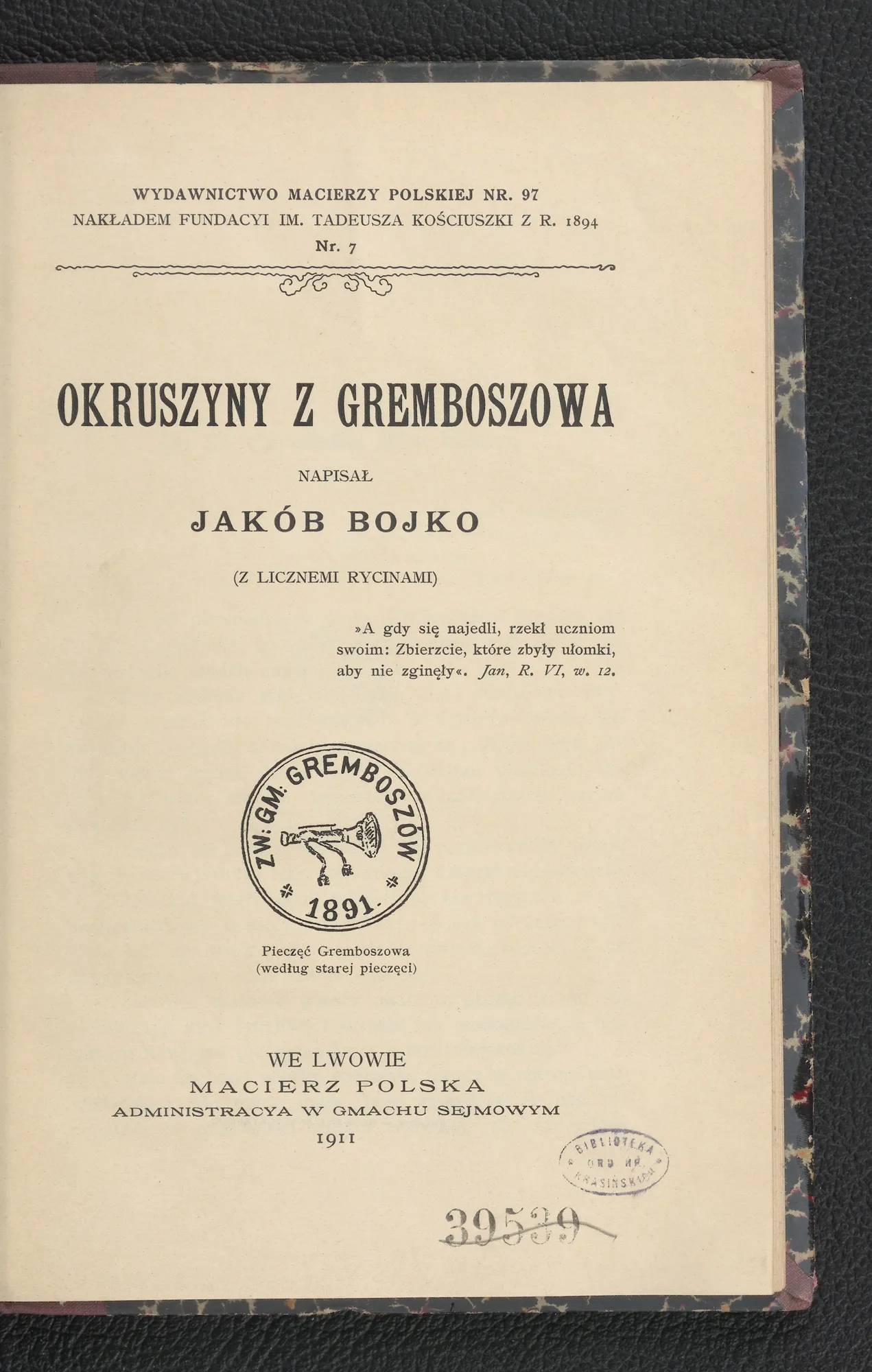
Jakub Bojko's monograph — from the Nieczuja family (1287) through the church, school and village mayors to rural everyday life, rituals and the cemetery.
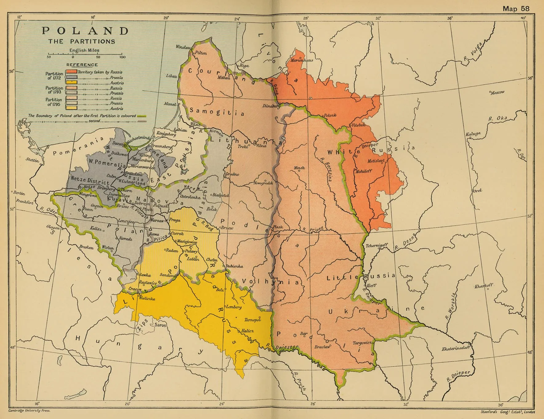
After the first partition of Polish, the area of the commune became part of the Kingdom of Galicia and Lodomeria.
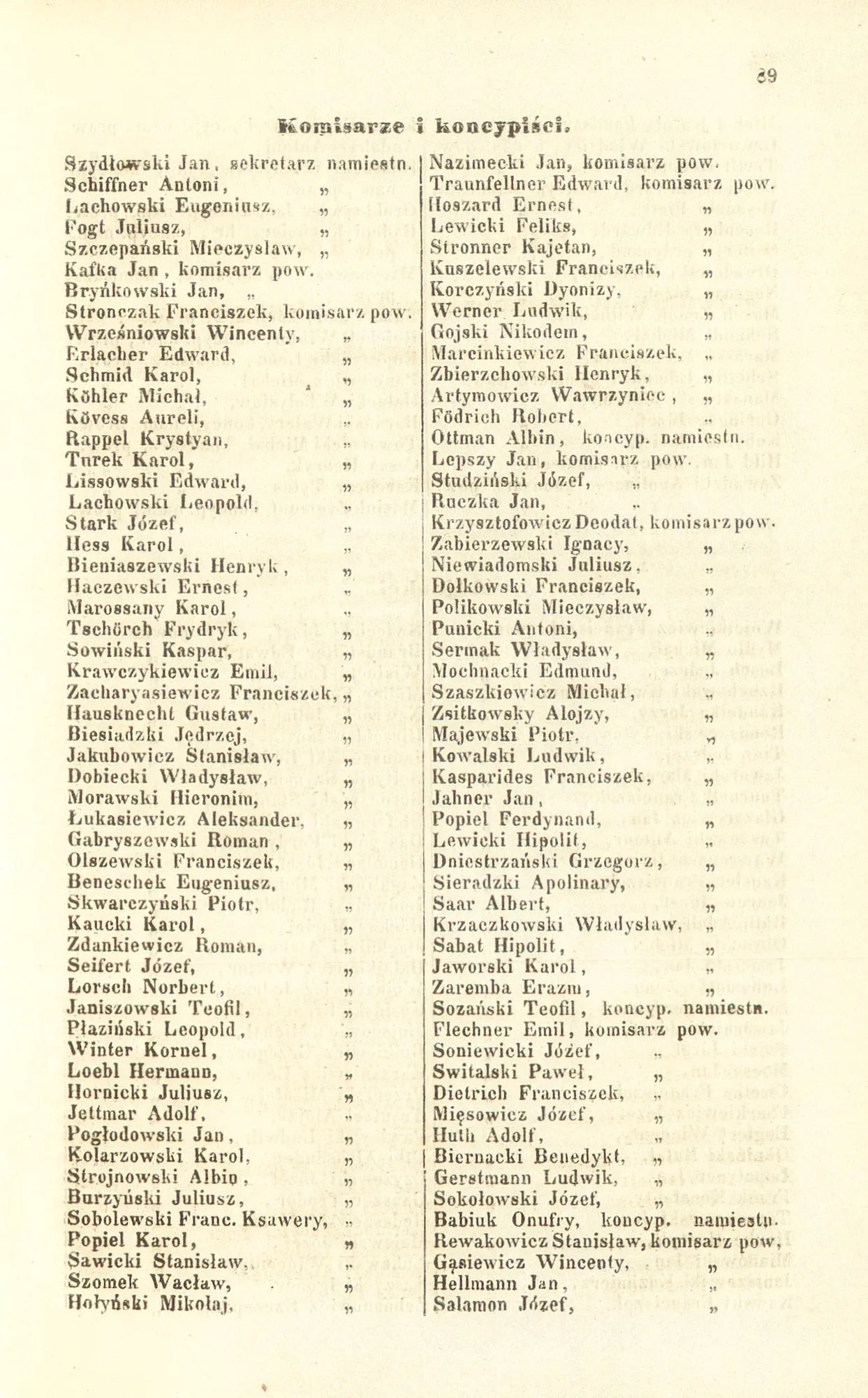
The large estates of the Potocki, Kwilecki and Kotarski estates — a list of villages and hectares.
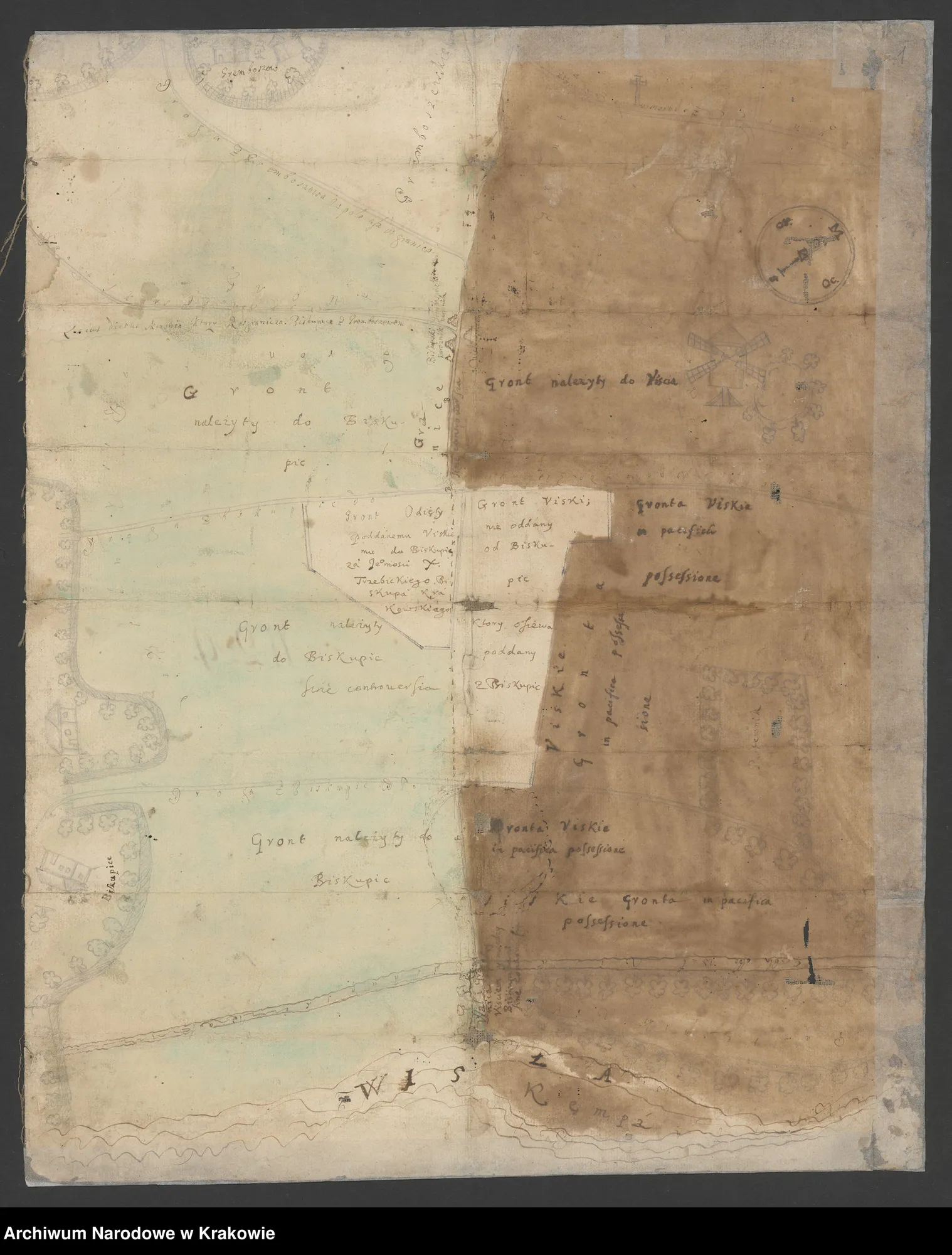
Plans and cadastral maps of the villages of the commune from the National Archives in Cracow — the property of the Załuski and Przerębski families (1680–1901).
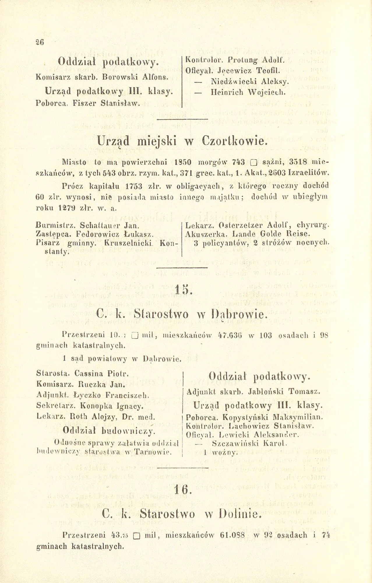
The mortgage register of 1870 — the basis of the rights of large land ownership in Galicia.
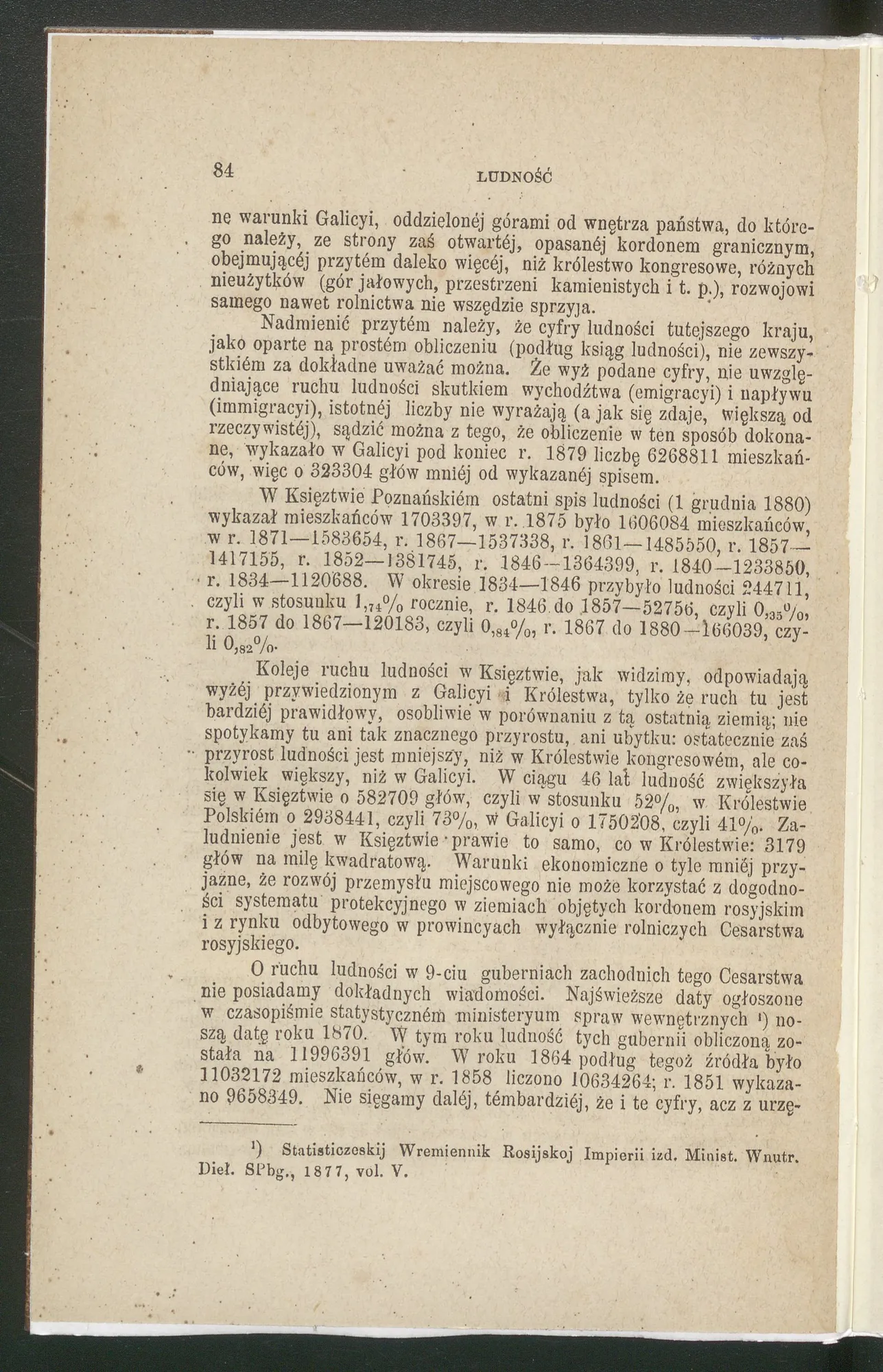
The number of inhabitants of the villages (ca. 1870) and census publications of Galicia from 1880 and 1910.
A detailed table of the number of inhabitants of the village according to the Austrian census of about 1870.
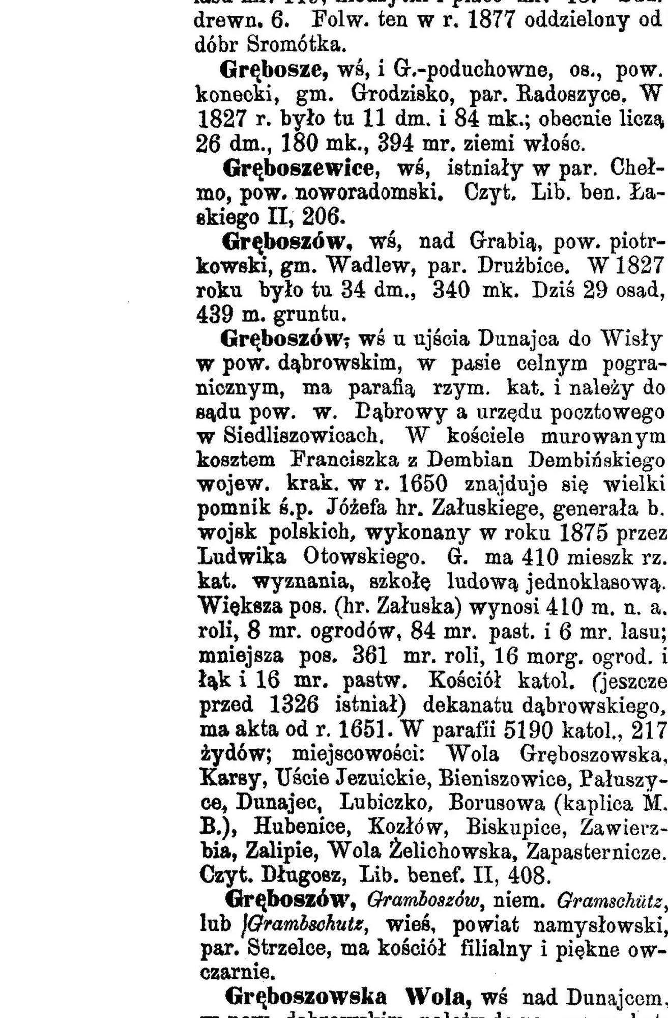
Encyclopedic entry — parish, school, land in morgas, post office in Siedliszowice, customs belt.
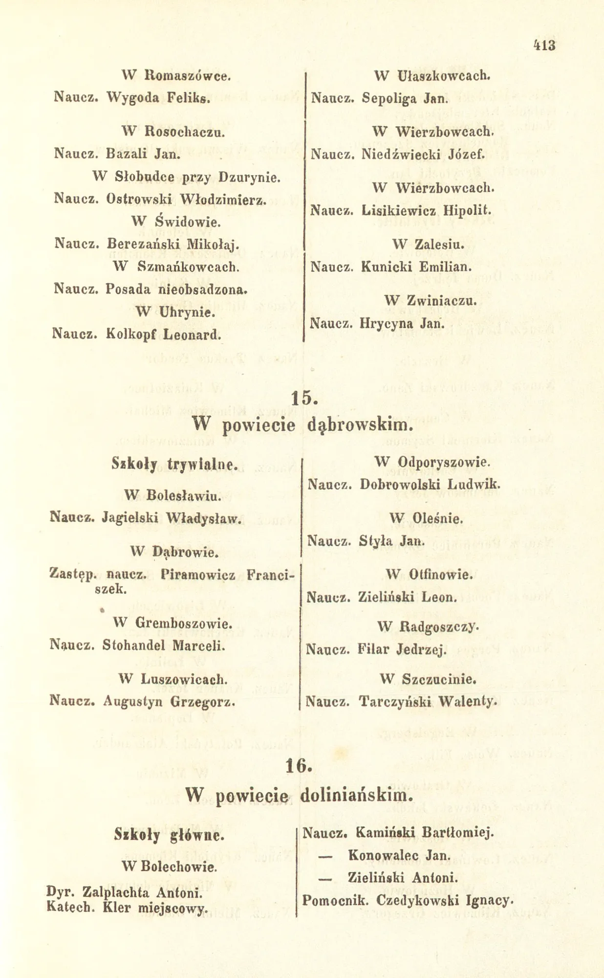
A network of single-class schools in Borusowa, Gręboszów, Ujście Jezuicki, Wola Żelichowska, Zalipie and Żelichów.
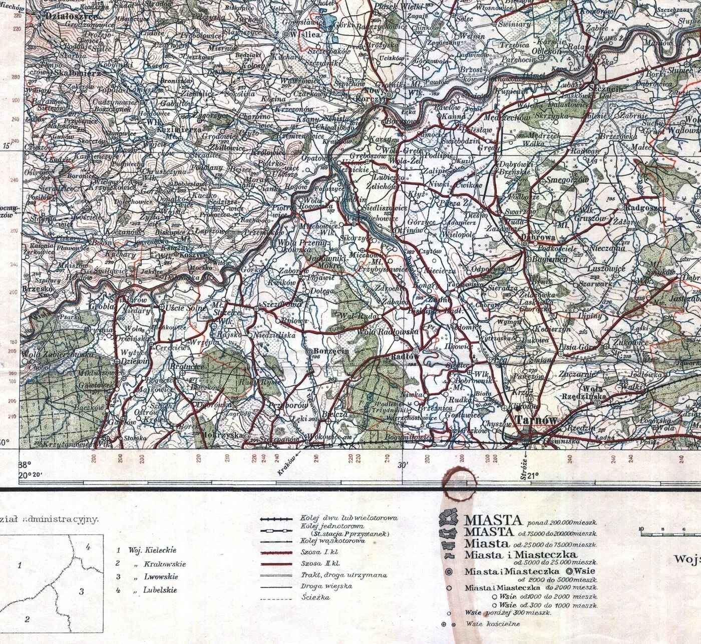
Fragment of the WIG operational map (1:300,000) from 1928 — Gręboszów, Tarnów and the mouth of the Dunajec River.
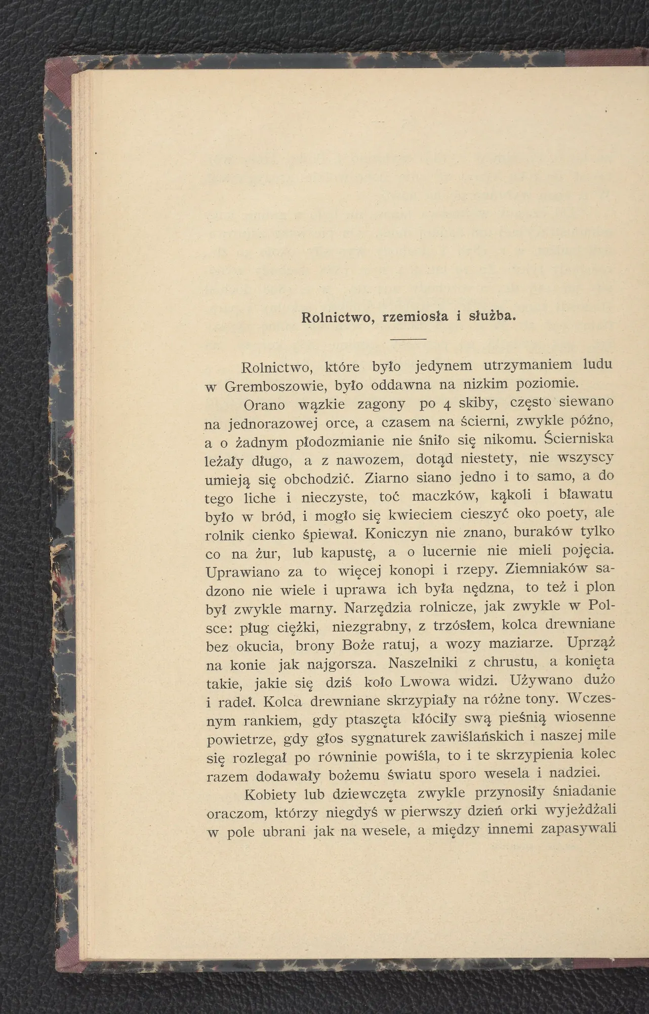
The first agricultural circle in the commune — the organization of peasants and the development of agricultural and livestock culture.
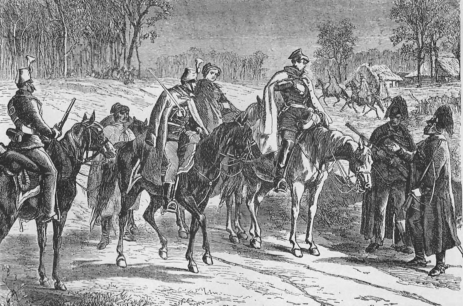
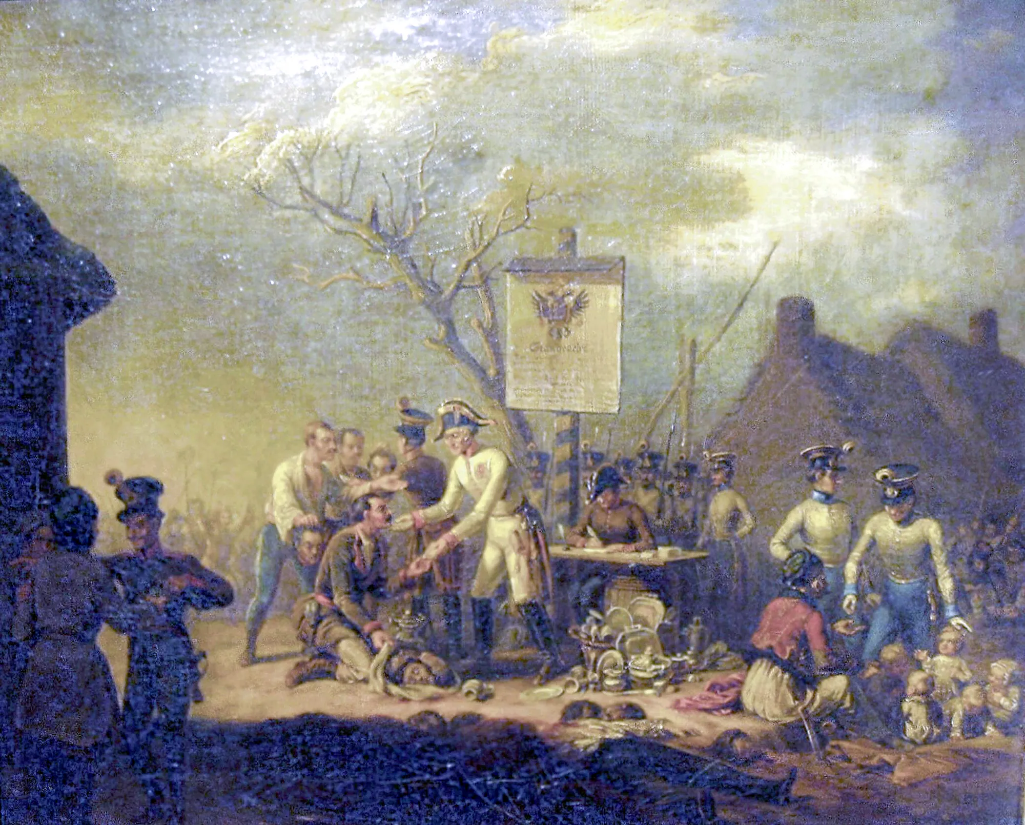
After the January Uprising, refugees from the Kingdom passed through the customs chamber in the Jesuit Mouth — the dictator of the uprising, General Marian Langiewicz, was arrested here.
A mixed grocery shop in Gręboszów — an initiative of agricultural-circle members.
Churches in Gręboszów and Żelichów, the palace and chapels in Borusowa, the cemetery with war quarters.
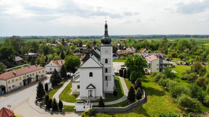
The Baroque basilica temple from 1650 — Żeleński's stained glass windows, Rieger's organ and the sarcophagus of General Załuski.
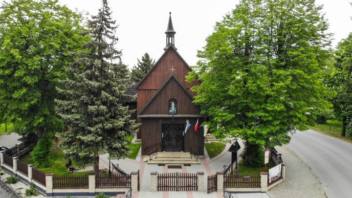
A wooden church moved in 1938 from Pleśna, with a late Gothic polyptych.
Baroque church in Gręboszów founded by the voivode of Kraków — consecrated in 1675.
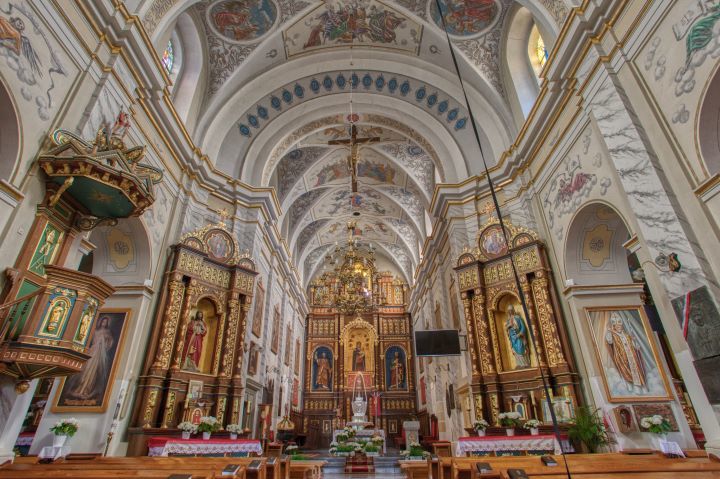
Five neo-Baroque altars from the second half of the nineteenth or the beginning of the twentieth century — including the painting of Our Lady of the Snows.
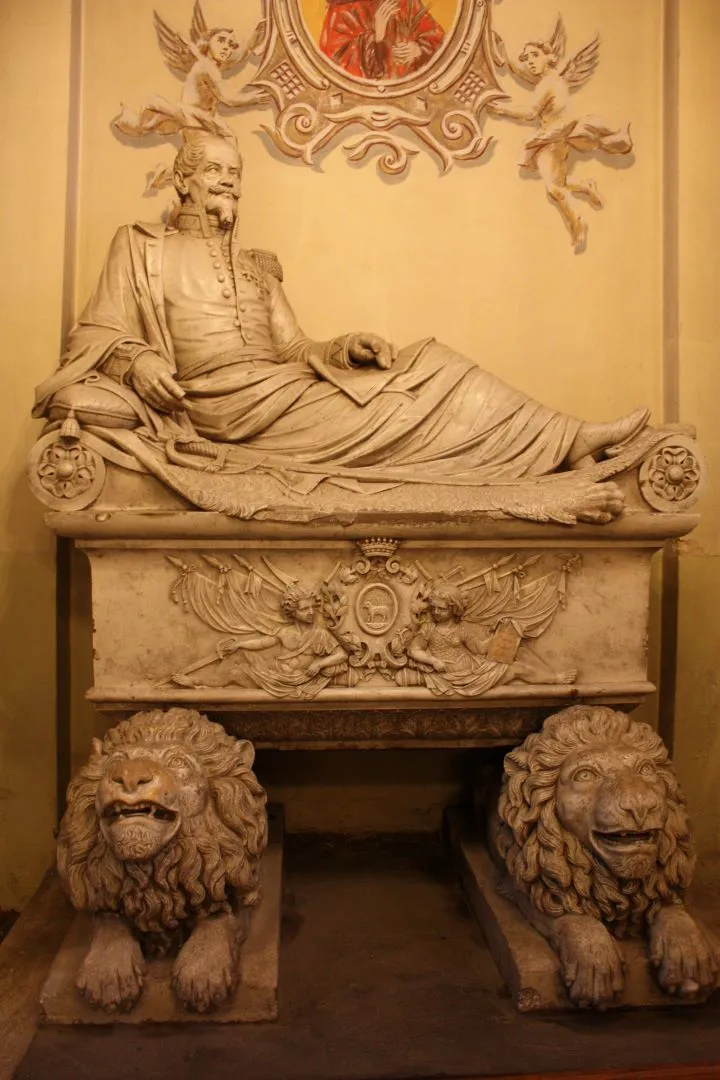
Monument-sarcophagus of the general of the Polish army in the northern nave of the church — made by Ludwik Otowski.
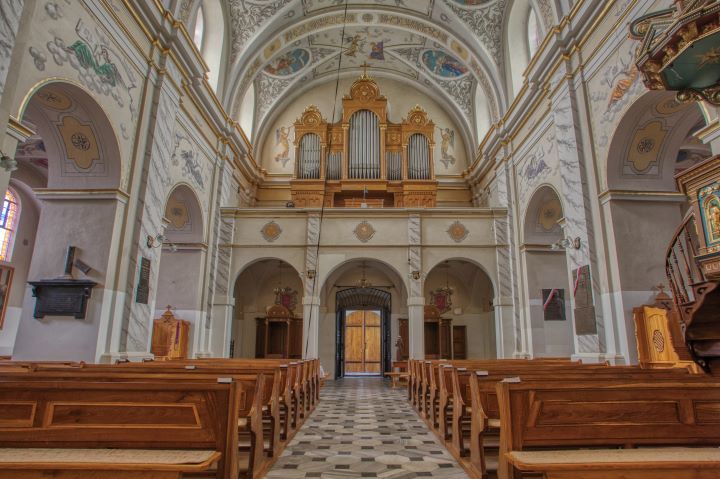
Stained glass windows in the church made after 1920 in the S. G. Żeleński Stained Glass Factory in Krakow.
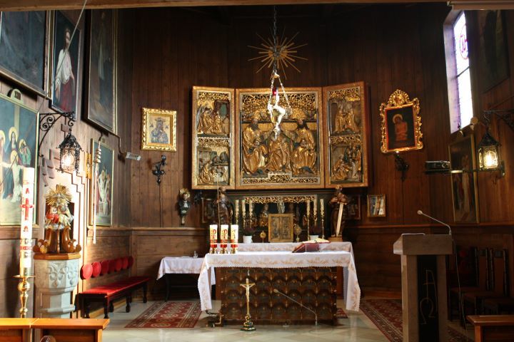
A polyptych from the beginning of the 16th century from a Silesian workshop — transferred from Tymowa in Lower Silesia.
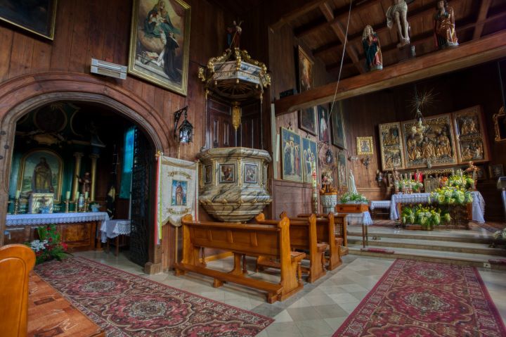
An eighteenth-century pulpit, sculptures, paintings and crucifixes — the rich interior of a wooden temple.
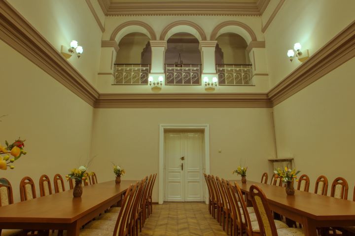
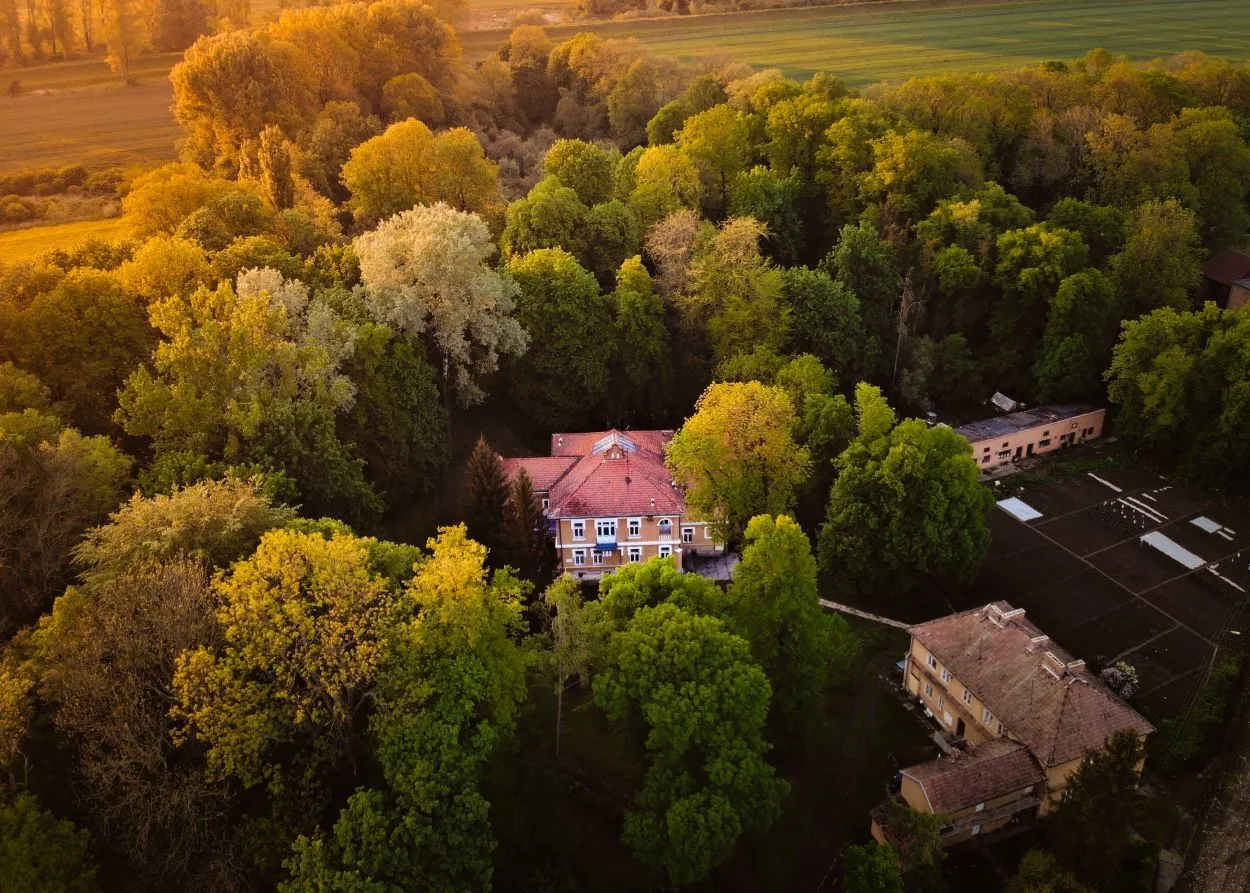
A manor house from the mid-nineteenth century for Adam Potocki — a tower, a gallery of arcades and a park.
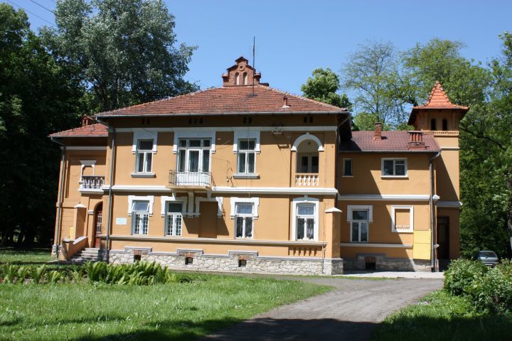
The park was established in the mid-nineteenth century around the neo-Renaissance Potocki palace — an element of the manor complex.
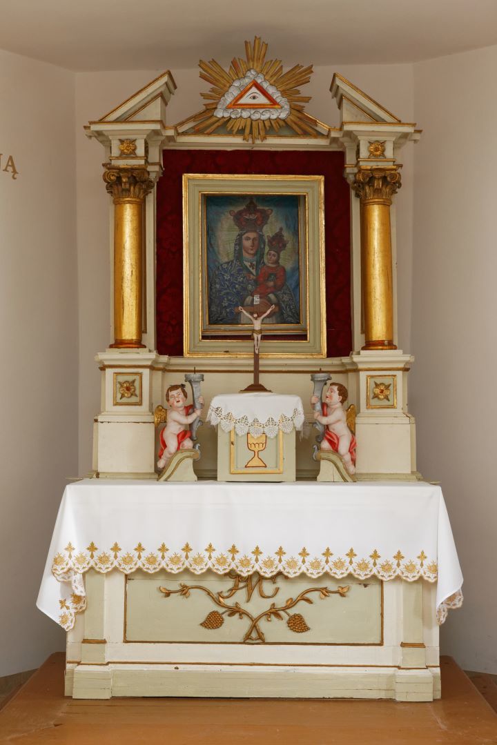
A chapel from 1860 with a painting of the Virgin Mary — the Bielecki foundation.
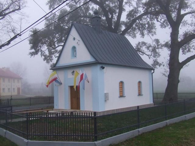
Brick Mass Chapel from 1860 — renovated in 2014; separate from the roadside chapel of the Blessed Virgin Mary.
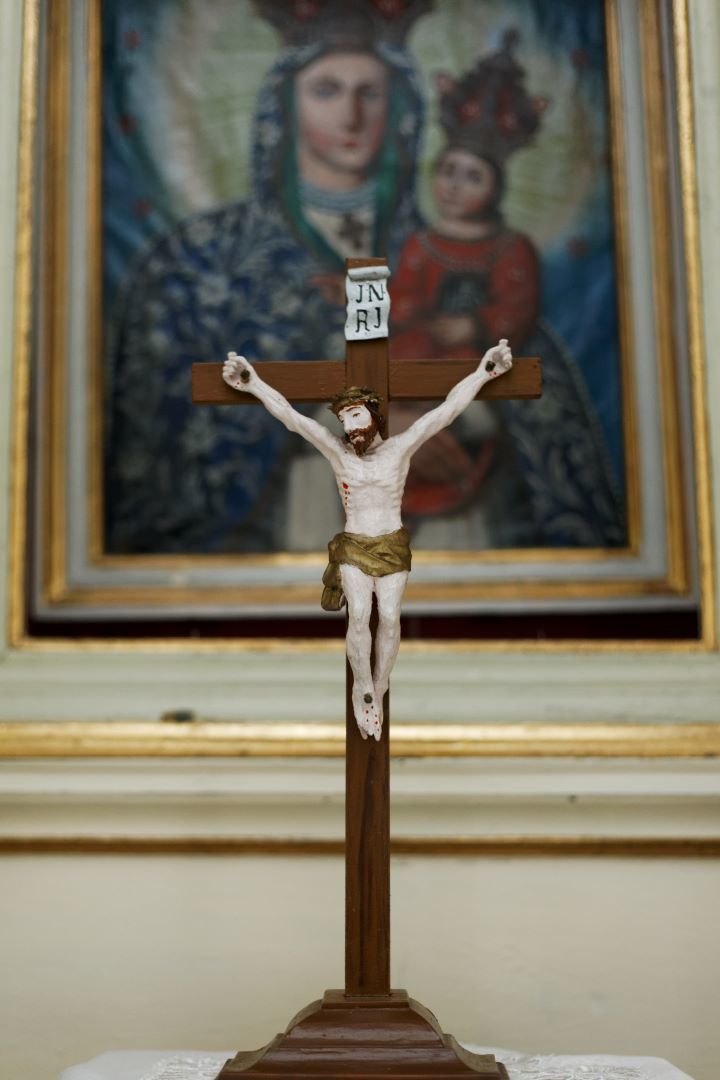
Baroque-folk painting of the Virgin Mary with the Child from the mid-19th century in the altar of the Bielecki foundation.
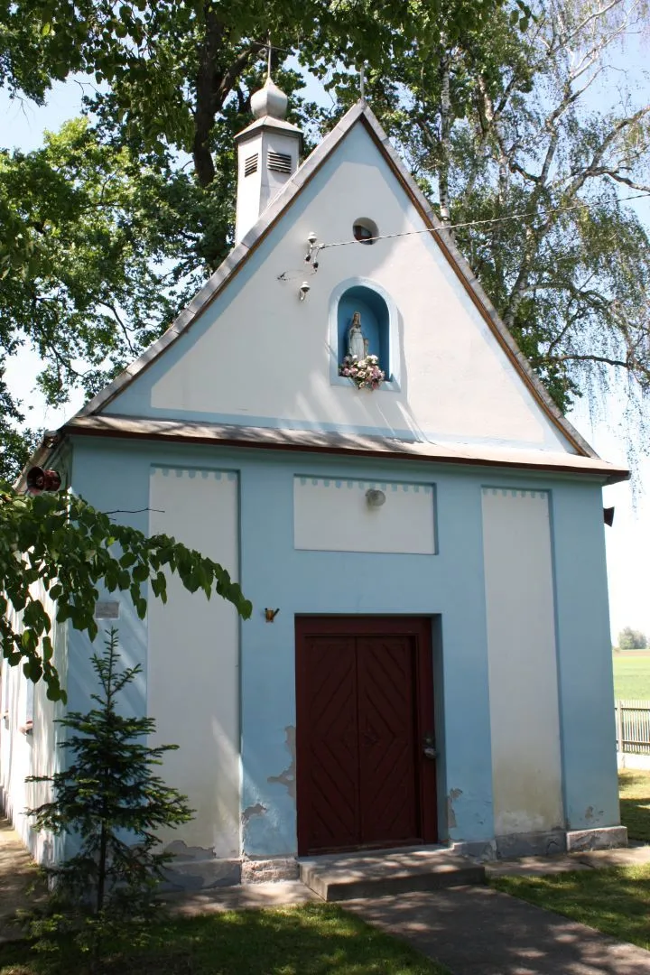
A plaque of the State Hydrographic Service on the wall of the chapel — a trace of the flood of July 1934.
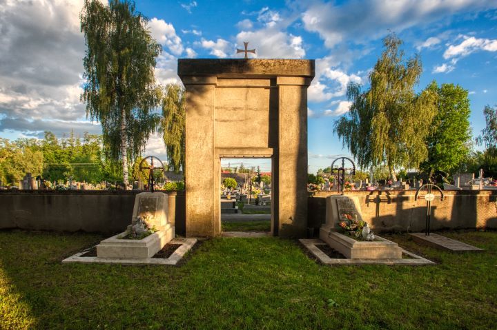
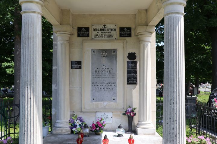
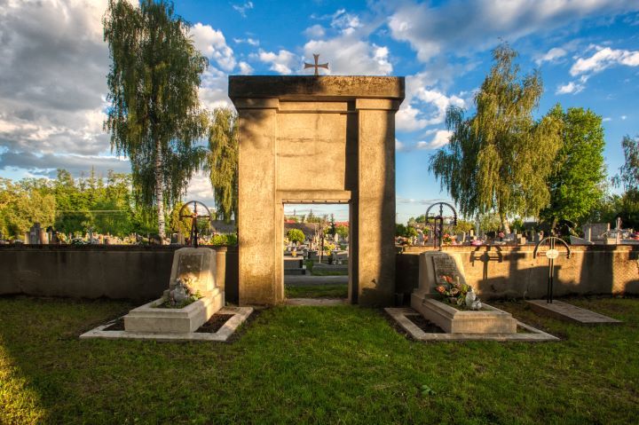
Necropolis from about 1850 — commemorative crosses, the tomb of the Bzowskis and the war quarters.
Two crosses on high pedestals from about 1759 — after conservation with visible reliefs.
A tomb in the form of a Roman aedicule on two columns — an example of classicist funerary art.
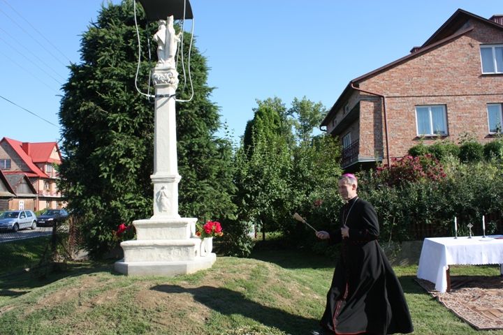
Historic statue with St. Nicholas and St. John of Nepomuk — consecration of the renovated statue in 2014
Polish Legions, the First World War and the 1944 tragedy in Opatowiec and Ujście Jezuickie.
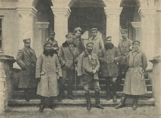
The defence of the Vistula section and Józef Piłsudski's headquarters at the rectory in September 1914.
Sub-units of the 1. Legion Infantry Regiment in Hubenice, Kozłów, Borusowa and other villages.
Józef Piłsudski was quartered in Gręboszów with Fr. Piotr Halak during Legion fighting in September 1914.
Burial place of legionnaires after fighting in September 1914 on the Vistula–Dunajec line.
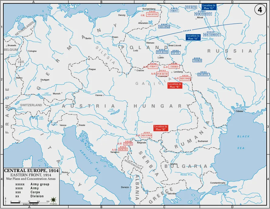
The inhabitants of the commune also fought in the regiments of the Austro-Hungarian monarchy on the fronts of World War I.
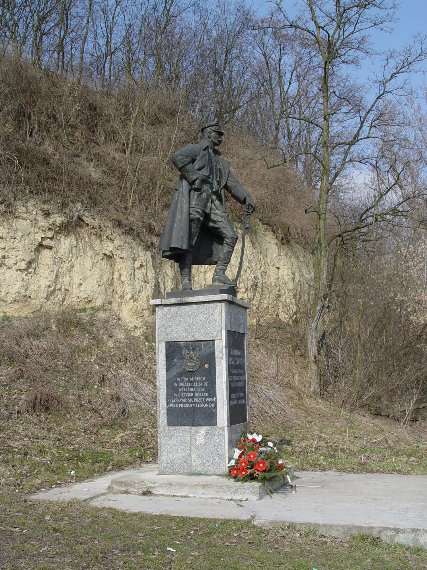
Commemoration of the Legions' battles on the Opatowiec–Nowy Korczyn line — 80th anniversary in 1994.
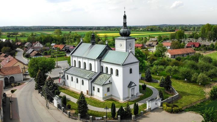
The number of believers in the parishes in 1914 — over 7300 Catholics.
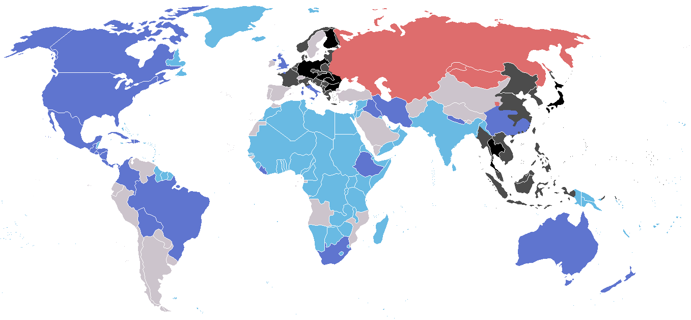
The drama of July 1944 and the balance of losses of the inhabitants of the commune during World War II.
Administrative reorganisation, post-war schools and the agricultural pensions reform.
Assembly national councils, compulsory agricultural supplies and peasant pensions — an abbreviation from the period of the People's Republic of Poland.
The commune was divided into three GRNs — Borusowa, Gręboszów, Wola Żelichowska — and returned to one commune in 1972.
Act of 27 October 1977 — Right to benefits after work on a farm.
A network of schools in the same towns as before the war — the development of rural education in the People's Republic of Poland.
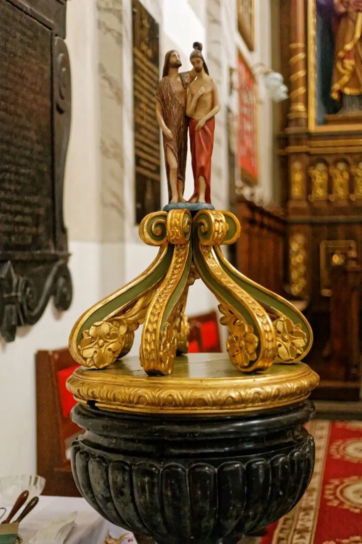
A brick baptismal font and a black marble lawaterz with the Jastrzębiec coat of arms from the second half of the seventeenth century.