item
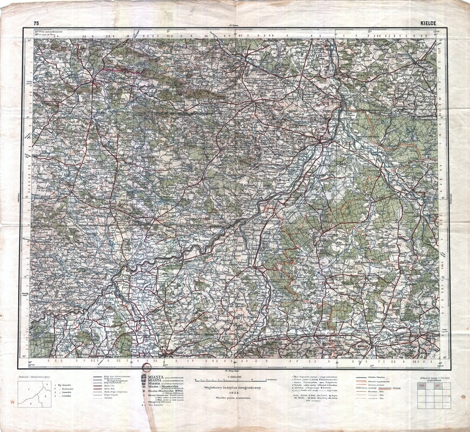
WIG map of the area Gręboszowa (1928)
Added to the collection:
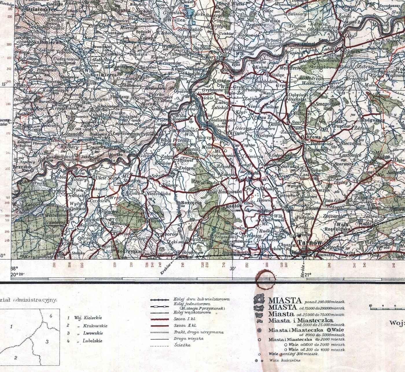
Fragment of the WIG operational map (1:300,000) from 1928 — Gręboszów, Tarnów and the mouth of the Dunajec River.
A fragment of the WIG operational map (sheet Kielce, 1928) shows the network of settlements and roads around Gręboszowa, the Jesuit Estuary, Tarnów and the Vistula–Dunajec catchment area in the interwar period. This is a historical administrative picture of the region from over a century ago — a supplement to the document cards and heritage map.
More on the municipality website: greboszow.pl